Design and Development in the Bi-State Reinvestment Corridor of Kansas City
This semester UP+D Studio 312 will be examining the Bi-State Sustainable Reinvestment Corridor of Kansas City, This corridor will combine net-zero electric transit with strategic investments to address environmental justice and economic development.
Improving the corridor requires thinking about some major urban issues of the present time. First, How did the big issues of urban change such as redlining, urban renewal, deindustrialization, and highway construction impact the corridor? Then, what are the existing plans for the corridor? How will we address the issue of housing affordability? Housing costs have been rising 3X faster then income in greater Kansas City. What assets do neighborhoods bring to the bi-state corridor plan? What are the present environmental conditions on the corridor and are their environmental justice hotspots? UMKC might best thought of as a “school zone” and a reduced speed on at least Rockhill and Oak Street might greatly improve safety. How will bicycle facilities and trails cross the corridor and connect to improved transit?
We will conduct this study in four parts – We will start with an Existing Conditions Analysis examining economic, transport, social and demographic trends impacting the neighborhoods and areas around corridor; then conduct a detailed analysis of site conditions and on-the-ground impressions of the corridor, identify strategic nodes for student intervention proposals, followed by the development of final design proposal for catalytic “transit-oriented development” that will advance Independence, and both Kansas City, Missouri and Kansas City, Kansas.
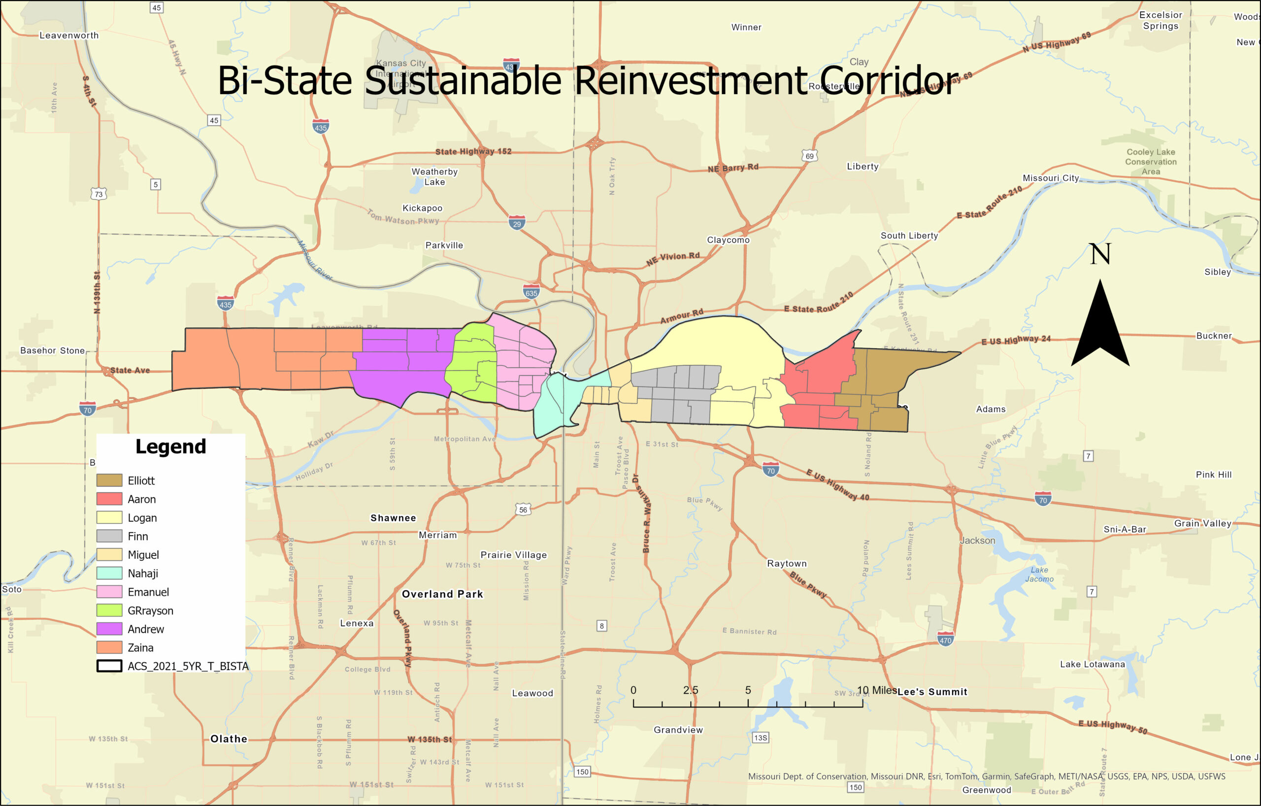
Regional Context Map. Made by: Adair Bright (ArcGis, UMKC)
The Landing Mall, inside the red circle pictured above, is located at Troost Avenue and East Meyer Boulevard in Kansas City, Missouri. It sits on the Parks and Boulevards System and is surrounded by four major streets – Troost, Meyer, 63rd Street, and Paseo. Being about 20 blocks south of The Country Club Plaza, it served as a retail space for the surrounding neighborhood. The mall was built in 1960 and was originally an open-air shopping center – something that can be identified when inside the mall. The mall became enclosed in 1970 and was renamed The New Landing Mall.
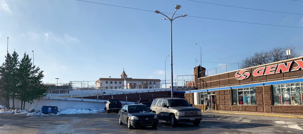
The Original Landing. Photo by: Adair Bright (January 23, 2018)
Few pieces of the original Landing still remain but it is enough to preserve and recreate. The sign pictured above is on the east side of the building facing the merge of Meyer Boulevard and the Paseo Boulevard. Having the original signage from the mall facing a boulevard is a positive because of the amount of people on those roads and it provides to opportunity to incorporate the boulevards aesthetic.
The Quarter Mile Figure Ground Map gives an aerial view of the site. The Landing Mall is highlighted in purple and the red circle represents a quarter mile radius from the center of the mall. A quarter mile radius was used because that is generally the distance people would be willing to walk and still consider it convenient. When looking within the circle, there are many bigger buildings which means there is a lot of retail and institutions surrounding The Landing. This is a good thing when considering the neighborhood just south of the circle because all the places within the circle are there to service the residents. There is also a playing field at the school within the circle which shows there is youth in the area.
A Look at Troost. Photo by: Adair Bright (January 23, 2018)
The image above is standing in the parking lot on the south side of the building while looking at Troost Avenue. It is clear from the picture there is a drastic topography change from the lower level to the upper level of the mall. The ramp was closed when the photo was taken so to get to the upper level, we had to walk to the south end of the parking lot to get onto a sidewalk that led north on Troost. This can be a major inconvenience to people because they want the quickest way to get to another place and therefore they will either drive their car to the upper lot or will not even bother coming here. Despite the current lack of good circulation, the topography does create a secluded place for the mall and in turn makes it feel safe. It also would allow for visitors to see a different view of the mall if they were able to look down at it and see the actual design.
The main impression I got when visiting The Landing was the extreme amount of parking surface. The map above shows the paved surfaces in the area. The building outline is clearly seen which means the entire lot, besides the building, is a paved surface for vehicles. Also, the map shows the abundance of parking elsewhere within the quarter mile radius. At some point, it was probably believed all the parking would be needed to support the abundance of people, but now, it sits empty. When arriving at The Landing, I was confused as to why the parking lot was so big and once we started walking, I realized just how small it made me feel. The mall and the paved surface appear to take up the same amount of the lot – each about half. This becomes uncomfortable when the Northwest side of the mall is pushed up almost to the street and the Southeast side is all parking. The massing should be reconfigured to less parking just on the outside in order to push the building slightly further towards the outer edge.
Conclusion
The Landing has an amazing location and the topography allows for interesting design choices to be made with clear intentions. However, the paved surface needs to be changed and the parking should be reconfigured. When inside, the mall feels old and sad. There is not a lot of light, the planter boxes are empty, and the store fronts do not have residents. The mall needs renovated while preserving its unique features. The original signage should be kept as a reminder of when it was built but the building should be maintained and turned back into a retail space for the residents it serves.
The Public realm is often defined as the space between the buildings. In this space is where people can walk, talk, meet, sit, and stay. There are certain design elements that benefit the Pedestrian experience, and some well intentioned design elements that failed. The issue of Human scale and continuity all contribute to the success or failure of an element. I choose to study the region of Main Street from 31st to 51st, including the next closest streets, Walnut and Baltimore.
Walls
“Walls are put up in the mistaken notion that they will make a space feel safer. They make it feel isolated and gloomy.” – William Whyte
Most of the walls along Main Street fulfill the Main Street Plan’s requirement for screening a parking lot but they fail to add to the overall experience of the corridor. The purpose of these walls is ideal to help maintain a street edge and create a sense of continuity. However, because of the change in materials and scale, the walls become confusing and inconsistent.
Fences
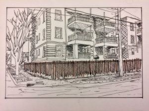
According to the Kansas City Urban Design guidelines and the Historic preservation guidelines, fences should be low and reflect the house style. This should be done to help preserve the original historic material. However most of the fences I came into contact with were overwhelmingly utilitarian and non-compliant with the design standards.
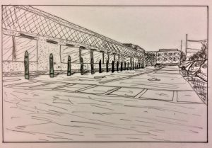
Bollards
Bollards are used to help provide a barrier between the Pedestrian realm and the Automobile. They provide a visual and Structural deterrent and range in type and effectiveness. The sacrificial nature of bollards allows them to stop vehicles and be easily replaced if necessary. There are many types of bollards, permanent, movable, lighting bollards, in various shapes and sizes.