For our final 312 studio project we were tasked to create a mobility hub along the Bi State Sustainable reinvestment corridor. Each studio was assigned a intersection from East in Independence Square to Village West in KCK.
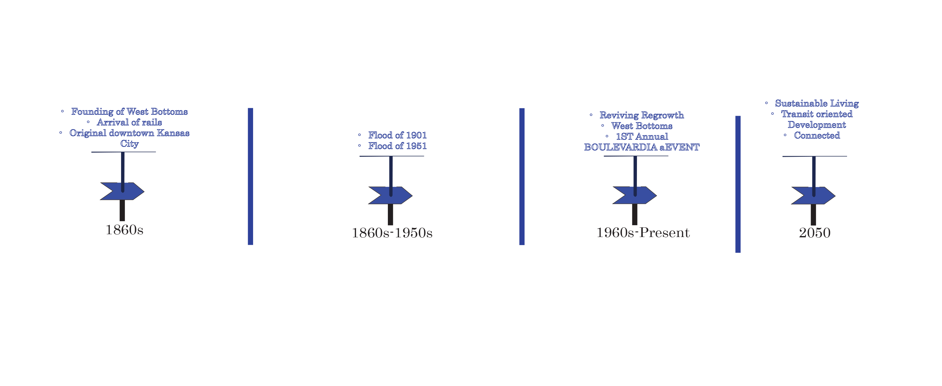
The West Bottoms has long been an industrial land use after the flooding in 1901 and 1951. All forms of residential land use were brought to what is now downtown Kansas City. The area has begun its regrowth and has become a potential residential development district again.

Figure. 2 shows the existing land use, zoning, and future land use in the half-mile radius. The current area consists of a single apartment flat a few commercial and use and mostly industrial use. The future land use will consist of new residential and renovated ones over five. A few industrial uses will be kept on the north side of I-70. With new commercial development in the middle of the area.
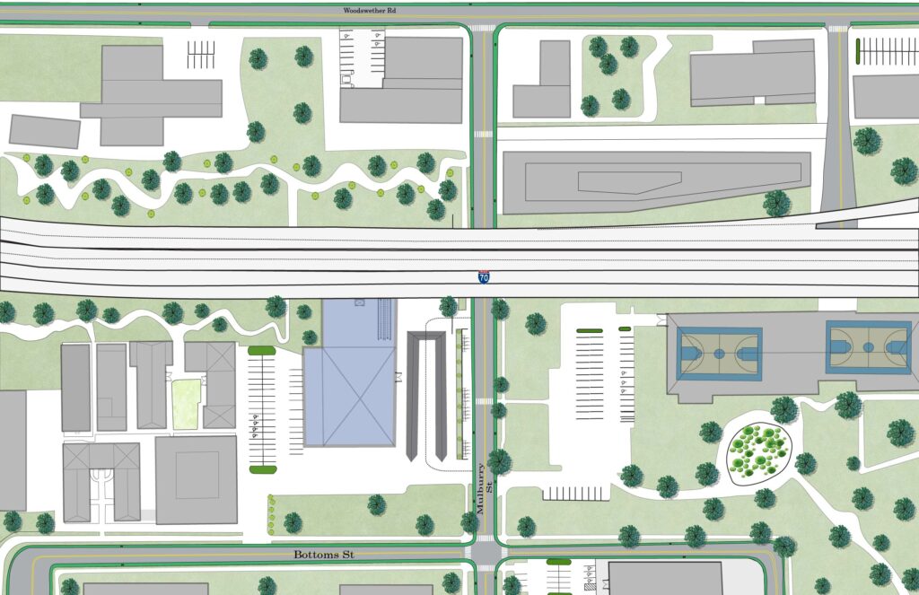
The mobility hub is located at Mulberry and Highway 70. In the blue is the transit center, with a pavilion that covers enough for buses. The design has bike lanes, sidewalks, trails, and improved crossing. Ample parking spaces for residents and visitors.

The obstruction disconnecting the KCK, and downtown Kansas City Missouri is the 7-lane I-70. It currently only carries high-speed vehicular traffic. Considering that, inclusive transportation can not only connect the bi-state but also improve the environment. The 7-lane highway will be turned into 4-lane vehicles with reminding lines going to streetcar, planter, pedestrian path, and bike lane.
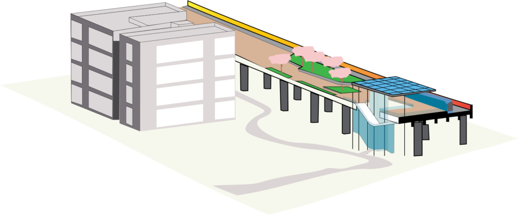
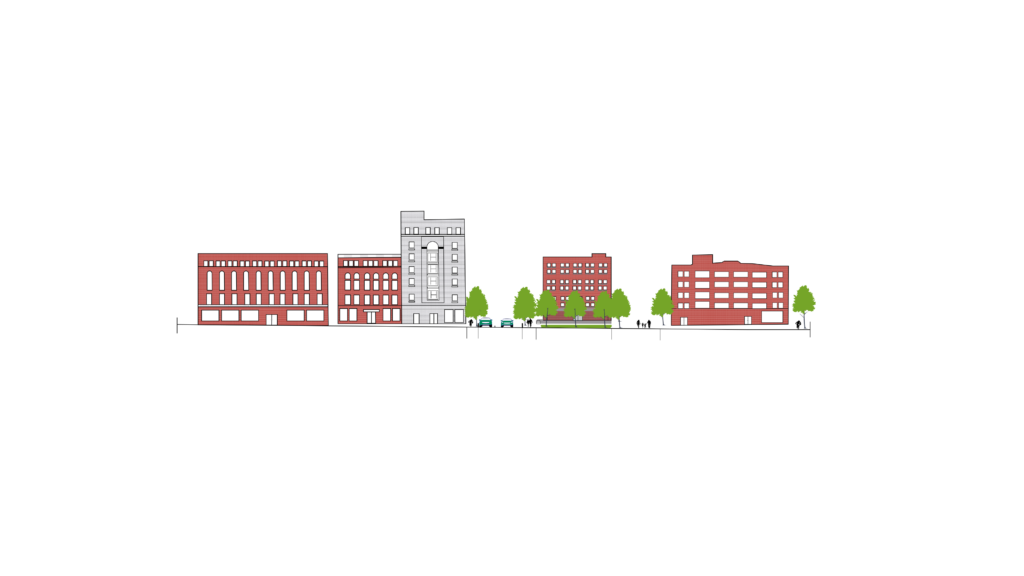
The streetcar would direct connection to the ground and the apartments, with ample green space and pedestrian path.
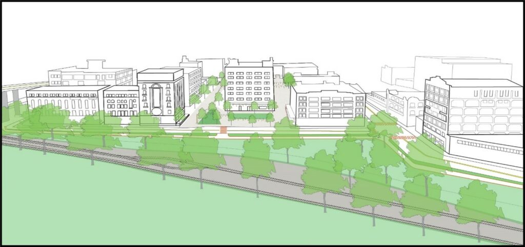
Redevelopment district
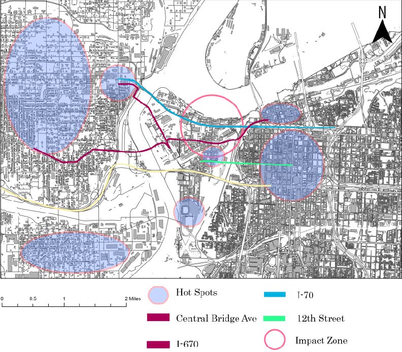
West Bottom has ample connections from both sides of the states. It has highway 70 and highway 670 going through it. Its also got 12th Street, and Centra Bridge Ave that connect to downtown, City Market, redevelopment district, and industrial district.
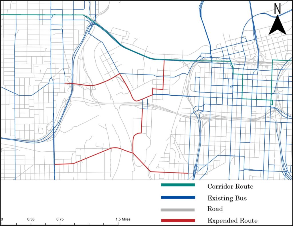
KCATA has multiply routes in the West Bottom. With the new BRT in the West Bottoms, I extended the bus routes South of West of Bottoms to give residents other options besides driving personal vehicles.
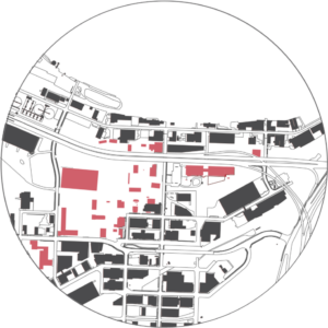
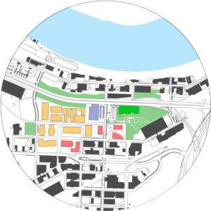
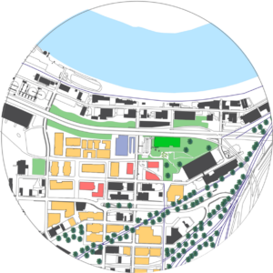
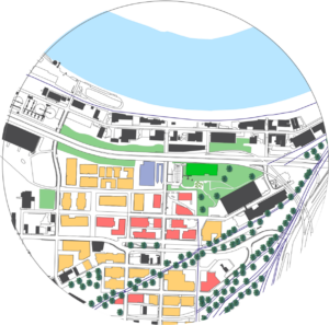
The Implementations will be done in four phase. First we will begin the demolition phase to prepare for new development, and undergo brownfields cleanup and the area to prepare for new development. Phase 2 will start the new apartments development and the mobility hub along with redevelopment of I-70. Also extending the road network in the surrounding areas. Phase 3 will pick up after phase 2. with redevelopment district a renovating the existing infrastructure and converting those to new apartments. Phase 4 will focus on commercial land use, and any additional development to make that West Bottoms is thriving.
