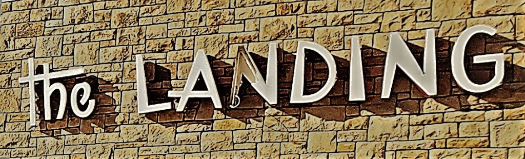
Overall Impression
The Landing is unique in its configuration. You catch glimpses of historic features of the shared motif that flows through all of J.C Nichols shopping centers. The Landing is in a perfect location to create a gathering space and congregation area as the parks and boulevards system , as well as many other transit options funnel into this area. As the heavy use of the area begins to show with the structure, the area is in line with future development and seems to be anxiously awaiting some helpful ideas to be put into action.
Public Realm
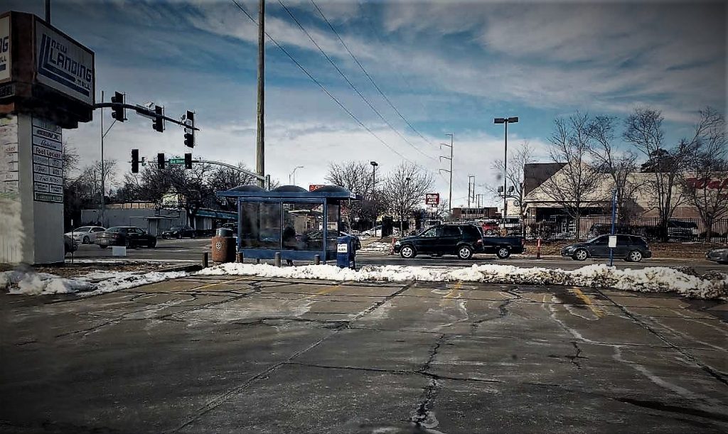
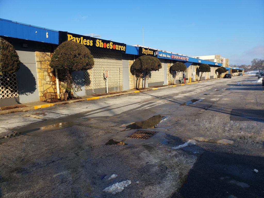
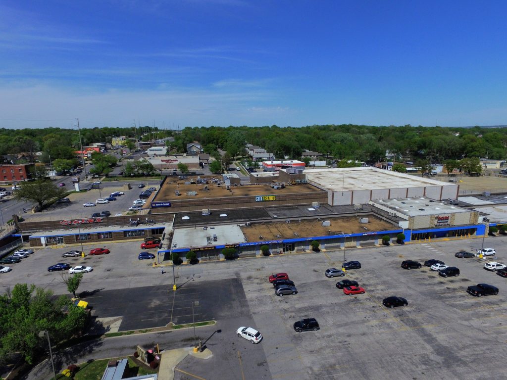
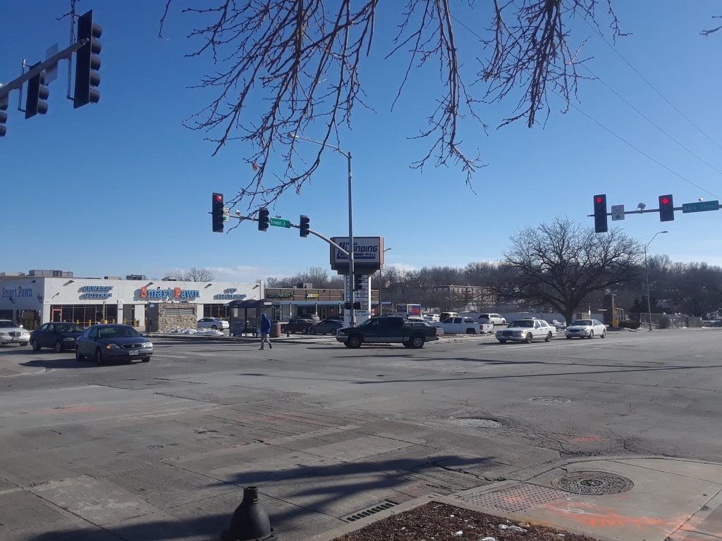
The initial public space that is noticed is the parking lot. As one of the earlier shopping centers in Kansas City, the automobile shaped the landscape and large areas for parking were necessary but over time more shopping centers diluted the concentration of automobiles in the area. The large open space loses a human scale in it’s vast size. The next notable public space that brings the human perspective back into focus is the interior hall of the galleria. With the storefronts facing one another across the hall it brings people into a collective space.
Where are the People?
Although our project has begun in winter there does not seem to be much human activity outdoors , and I find it will most likely be the same in the summer. The public will most likely be gathering indoors. Aside from the mall, there are several other places that people gather, such as Hogan Preparatory Academy sits just to the south of The Landing and a little further to the east is a large convent. Along with many other fast food restaurants and convenience businesses, there people frequently in the area.
Vantage Points
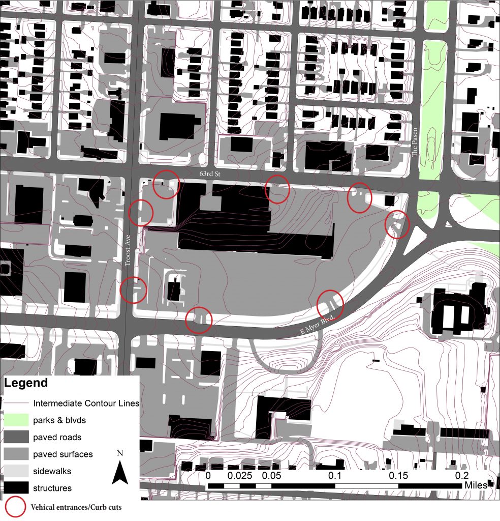
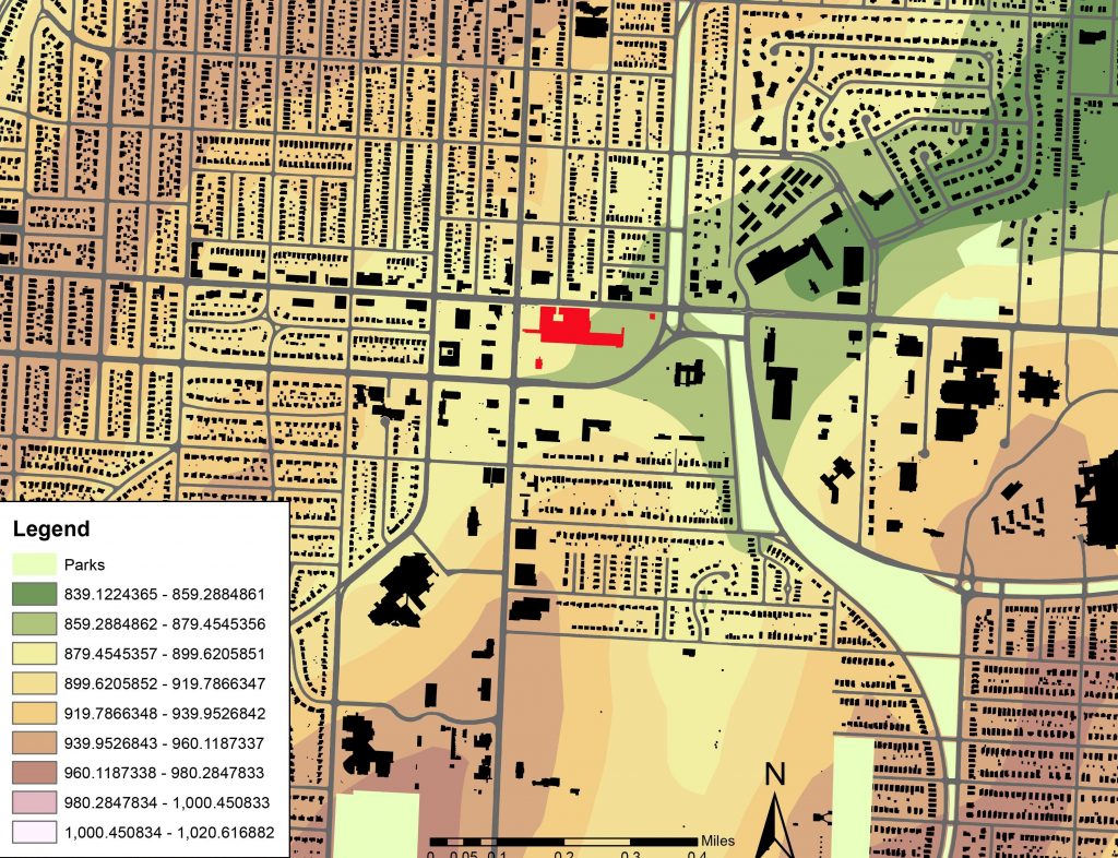
The topography of the area puts the site in a gully with a rise to the north and to the the south. This seems like it funnels people into the area. The hills have caused the use of retaining walls and that gives certain places such as in front of the Rent-A-Center parking lot looking south or the use of parking on top of the shops at the east end of the structure which look across to the parkway and the small wooded space on the Hogan Prep lawn.

Pleasant Scenes
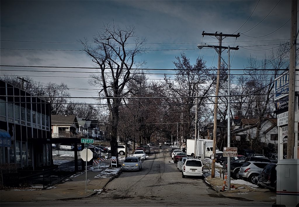
Views to the north from The Landing peering up Tracy and Forrest avenue have a charm to them with the large trees creating an arboreal archway over the streets that come to an end at the landing. The trees are what give this urban space a more inviting feeling and there are none on the Landing site, they line Meyer Boulevard and crest the hills around Hogan Prep and line the gully that the Landing rests in.
Urban Disturbances
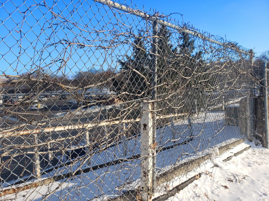
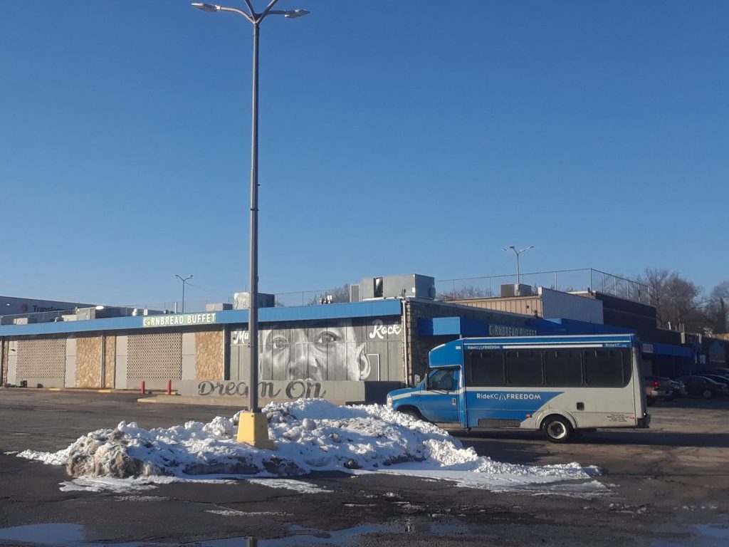
Several garbage cans line the back of the pad site , Wendy’s and seemed to be lingering in the parking lot of the Landing. On the same note the outdoor ramp to the west of the complex is fenced off and locked up. This does not feel very inviting and being along Troost, has many eyes on it. On a more positive note the graffiti on the site was more of street art, where there is a mural of Dr. Martin Luther King .jr facing Meyer Boulevard and another mural type panting to the east, supporting local sports teams.
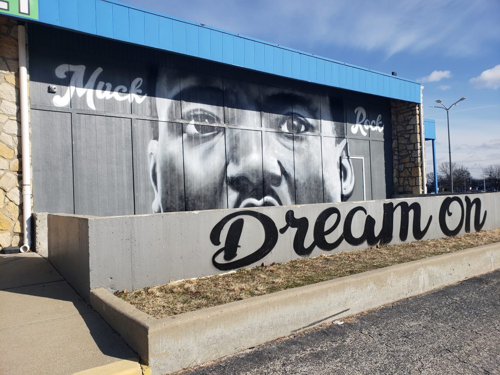
Photo 4. MLK Dream Courtesy: Logan Sours- January 29th 2019 10:36 AM 
Photo 5. KC Knows Landing Courtesy: Logan Sours January 29th 2019 10:20 AM
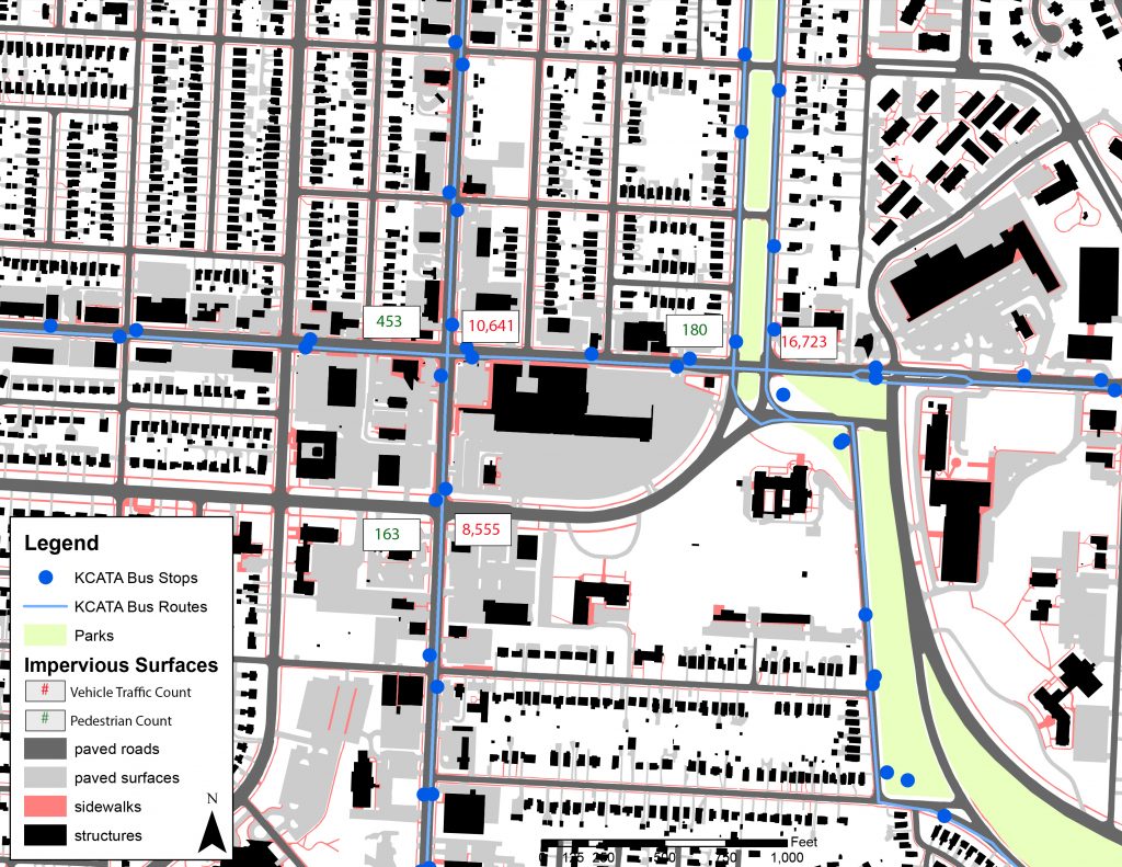
Bus Stops
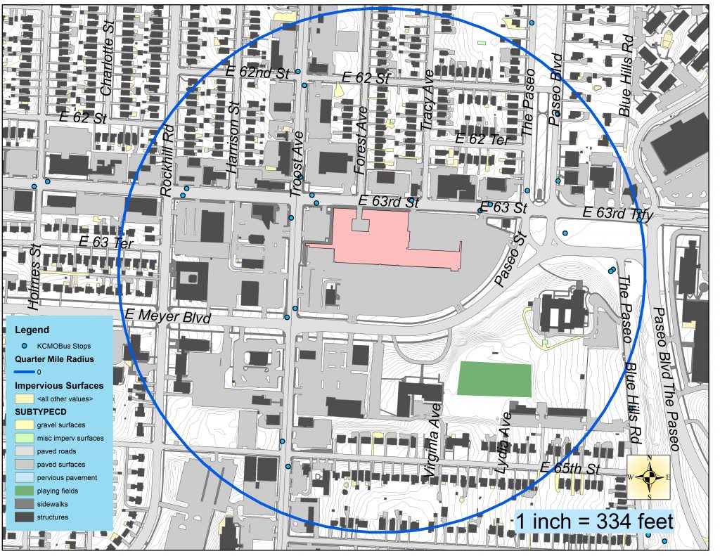
Within a quarter mile radius of the Landing there are 20 bus stops and are frequently used throughout the day. This seems to be a nucleus for transportation with so many stops in such a confined area. Several bus stops have provided benches at smaller nodes while three in the area have covered shelters on the 63rd and Troost pass.