DIAGRAMMATIC MAP OF SIGNAGE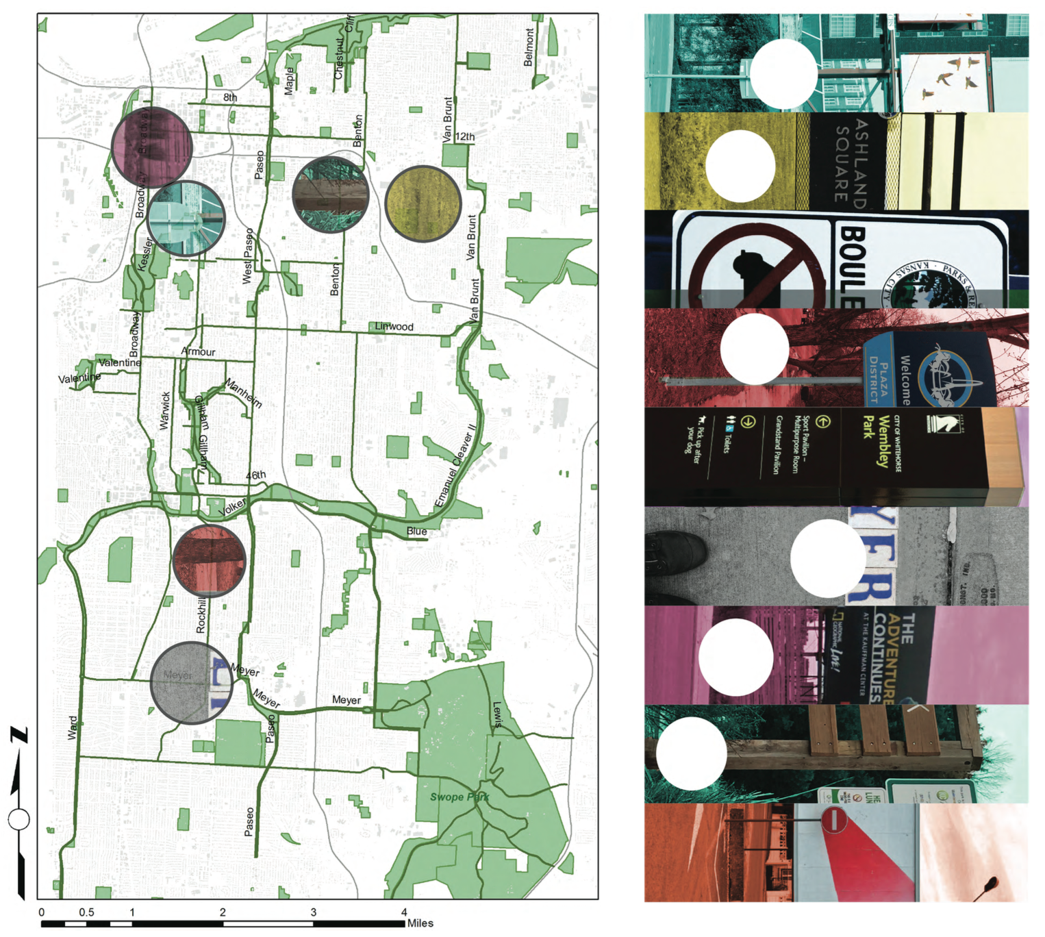
This map shows the relative locations of different kinds of signage that line the parks and boulevards system in Kansas City.
PRECEDENTS OF SIGNAGE ON PARKS & BOULEVARDS
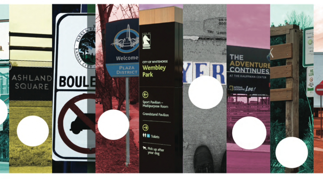
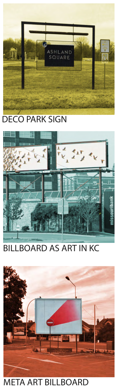
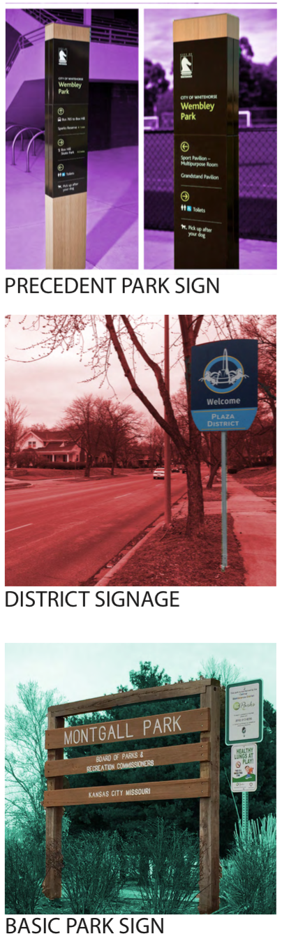
There are a wide array of different kinds of signs in KC. I took as many examples that are representative of the different aspects of this design element.
IMPLEMENTATION
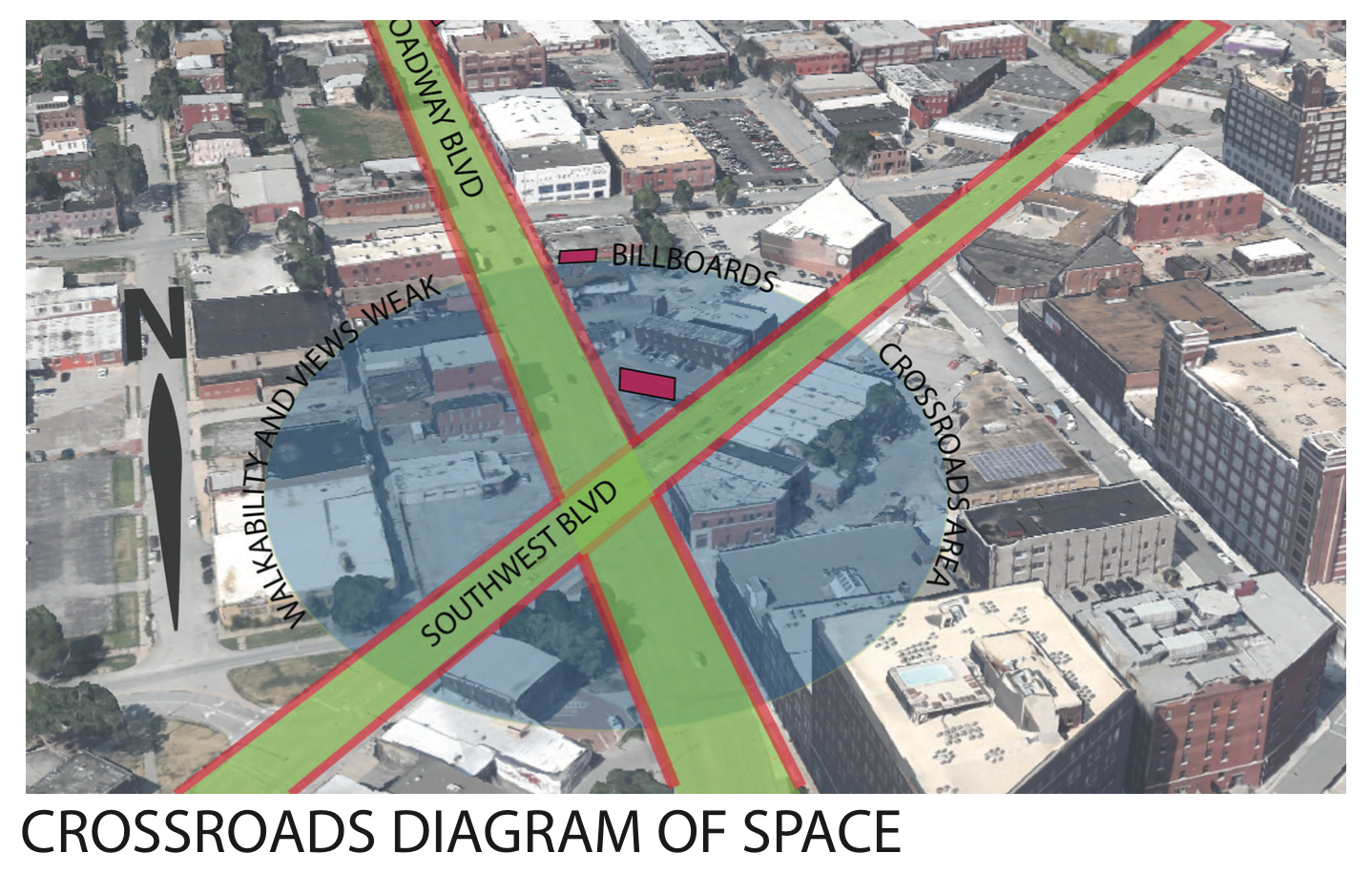
When diagraming the intersection of two famous boulevards in KC I noticed the importance of the crossing. As Broadway and Southwest Boulevard meet, there is an opportunity for a walkable route that could connect people throughout the crossroads. Currently, the billboards create a very impersonal scale for the pedestrian and also are an inherent negative externality to the passerby.
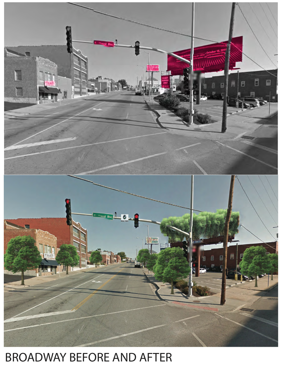
By implementing vegetation along the streets and restoring the streets to exemplify their namesake, the intersection takes upon an entirely different feeling. I also envisioned having a elevated garden green area where the billboard platform currently resides.
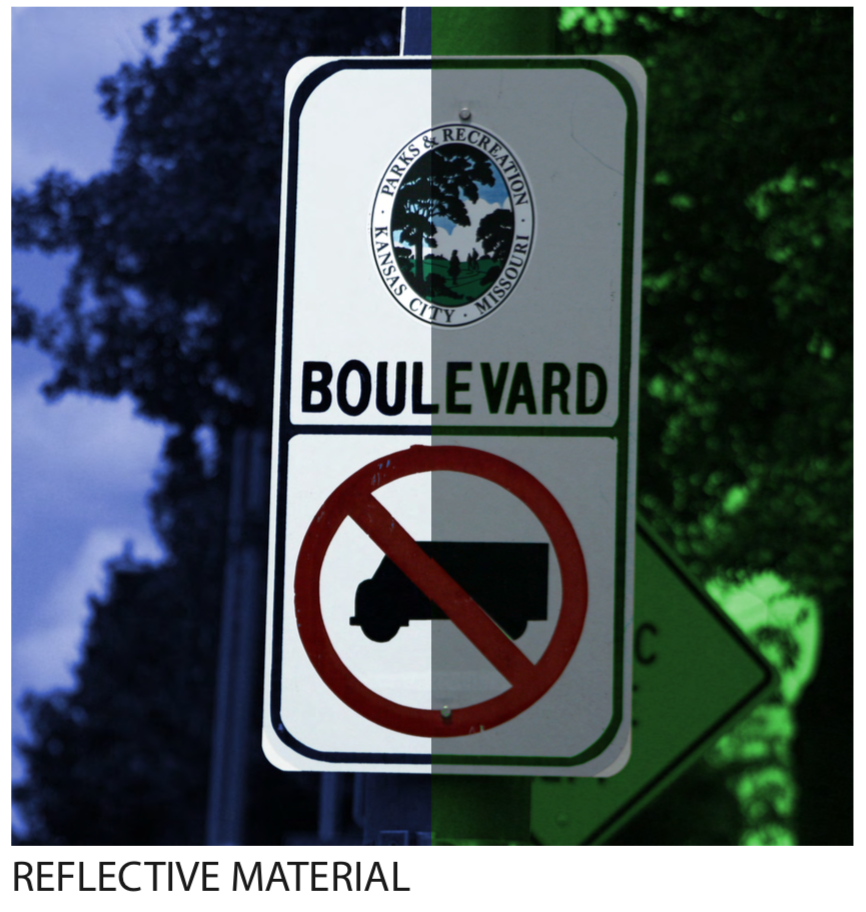
By increasing the brightness and adding a reflective material to new boulevard street signs, the information becomes much more readable.
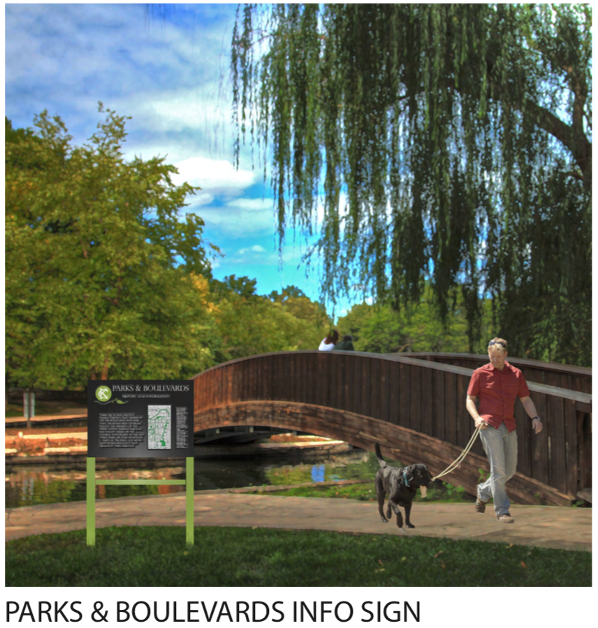
One of the things that I noticed through analysis and study of the Parks system is the lack of a design language. There also is a surprising lack of information and history that is shared in the public physical realm. I, in turn, envisioned a coherent and consistent park sign that could carry information, context, and history of the parks and boulevard system. People want to know about Kessler, and how the parkways and boulevards follow the topography, interconnecting the park “knuckles” dispersed around the city.