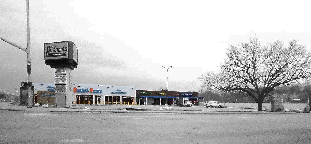
When arriving from the north, the first impression of The Landing shopping center is rather misleading. The first thing you will see is a small strip of commercial activity with a deep setback from Troost Ave. and abundant parking. From the corner of 63rd and Troost (Figure 1) it could easily be mistaken for the extent of the development. However, if you traveled further south on Troost or east on 63rd, you would see that the ground level drops dramatically in each direction revealing the majority of the mall which lies below the ground level of this prominent corner.
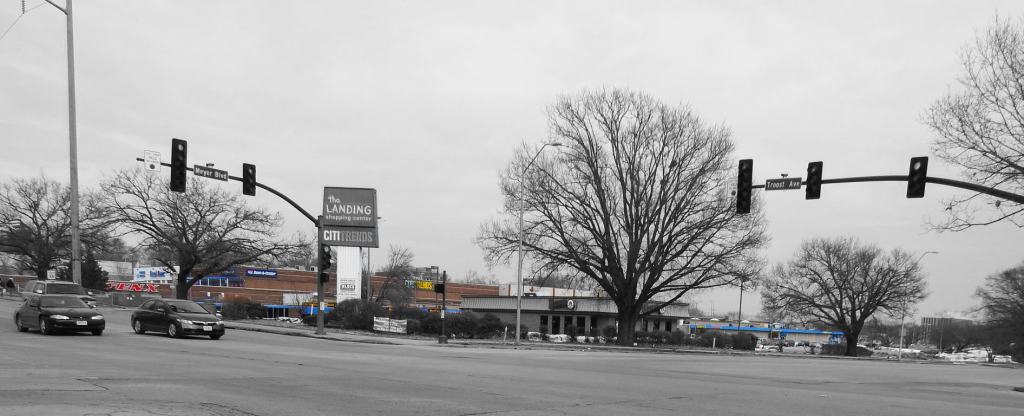
From the intersection of Meyer Blvd and Troost Ave, a block to the south, the topography and other elements of the site continue to mask the view of the large complex (Figure 2). The rise of Troost and the deep parking lot fronting Meyer Blvd. obscure the storefronts at the west of the site. The parking lot, a fast food restaurant, and large trees hide the rest of the mall as it stretches east.
The lack of a strong visual presence may be negatively impacting the prospects of the retail activity conducted on the mall’s premises. People who pass the site may not be aware of the commercial opportunities hidden by topography and the low-rise structures.
Future developments could remedy this effect by siting buildings closer to the street. The low-elevation could also be countered with taller structures.
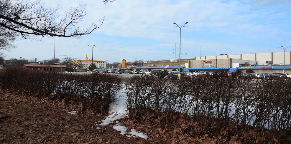
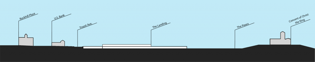
However, the topography which helps to hide the mall can also be seen as an advantage when taken together with elements of the built environment surrounding the site. Three vertical landmarks are easily, and pleasantly, visible from many points on the site. To the west the pinnacle of the Rockhill Plaza office building and the tower of the U.S. Bank building rise high enough that they can be seen from almost anywhere on the southern and eastern sides of the site (Figure 3).
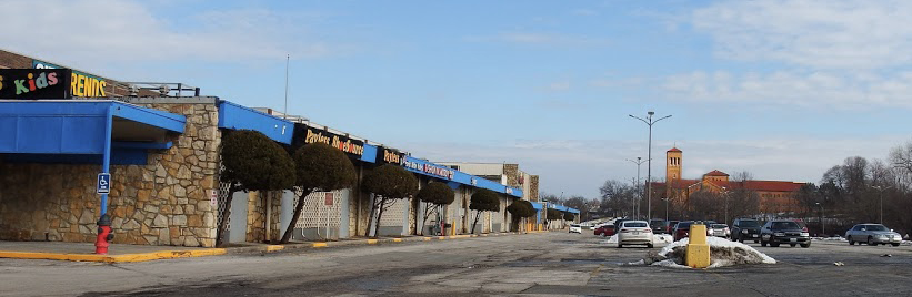
To the east, the dramatic tower and red roof of the Convent of Christ the King can be seen from almost anywhere on the site, excepting the northwest corner (Figure 4).
In both directions the views of these landmarks are made possible by the topography of the site. The mall is sited in a relatively deep bowl of a valley and the verticality of the towers is enhanced by their siting on the surrounding higher ground (Figure 5).
Future development on the site could take advantage of this unique topography by preserving the excellent views off of the site.