The first road developed as a highway in the Bi-State Corridor was the Kansas Turnpike. Finished in 1956, the turnpike’s initial plan predated the interstate highway system, although it was incorporated into the system later in the same year. Now, the part of the turnpike that runs east-west through the corridor is I-70.
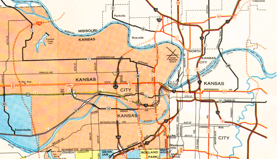
After the turnpikes construction began the multi-decade long highway project that would eventually become I-435, encircling around the Kansas City metro area and serving as the West boundary of the Bi-State corridor. The project started in 1965 in the east, although it wasn’t nearly twenty years later in 1986 till the project reached the western boundary of the corridor, as seen in Map 1. The highway was eventually completed one year later in 1987.
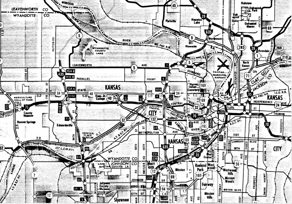
During I-435’s construction, the creation of another highway, I-635, also began its implementation. Beginning its construction in the late 60’s, the first year that the corridor saw a completed segment of the expansion was in 1973 between Leavenworth Rd. and State Ave, as seen in Map 2.
These three highways: I-70, I-635, and I-435, define most of the highway landscape on the Kansas side. I-70 provides the primary commuter connections for travel within the corridor, while I-635 and I-435 provide the main commuter connections to the northern and southern parts of the region .