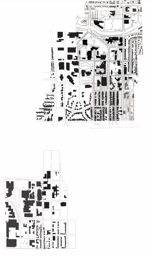
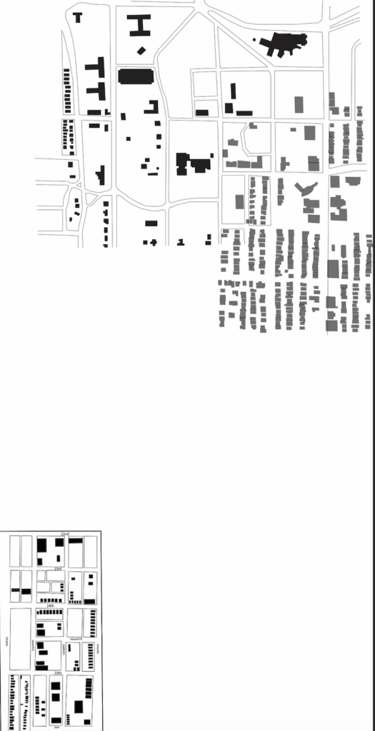
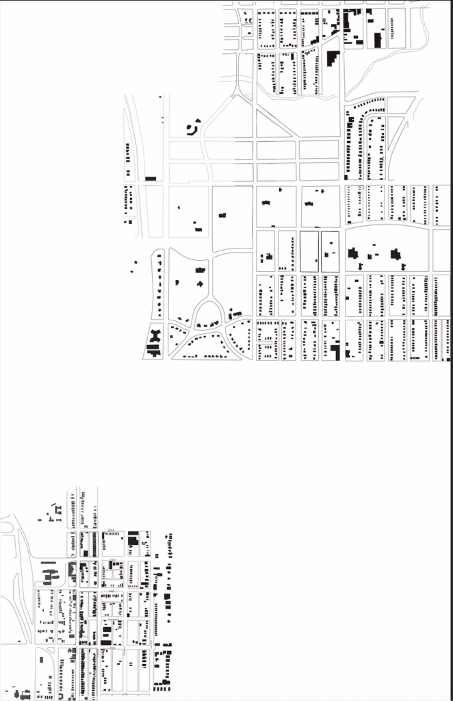
For the existing analysis of the UMKC campus interface community I worked mainly on piecing together the figure ground maps that our class all made. We split up the campus and the surrounding area into smaller parts so that it was more manageable and then all made our own figure grounds, once that was done we all compiled them to one folder and I began to piece them all together into one map for each of the three years we were assigned, 1925, 1960/70, and present day.