The areas I was assigned to analyze were Wayne Avenue (Vine Street) to The Paseo between 29th and 30th streets.
I looked at Sanborn Fire Insurance maps from 1885 to compare the development around the Troost Park area to present-day conditions. In 1885, the area was at the beginning of development and had a few single-family dwellings scattered along Wayne Avenue, then Vine Street.
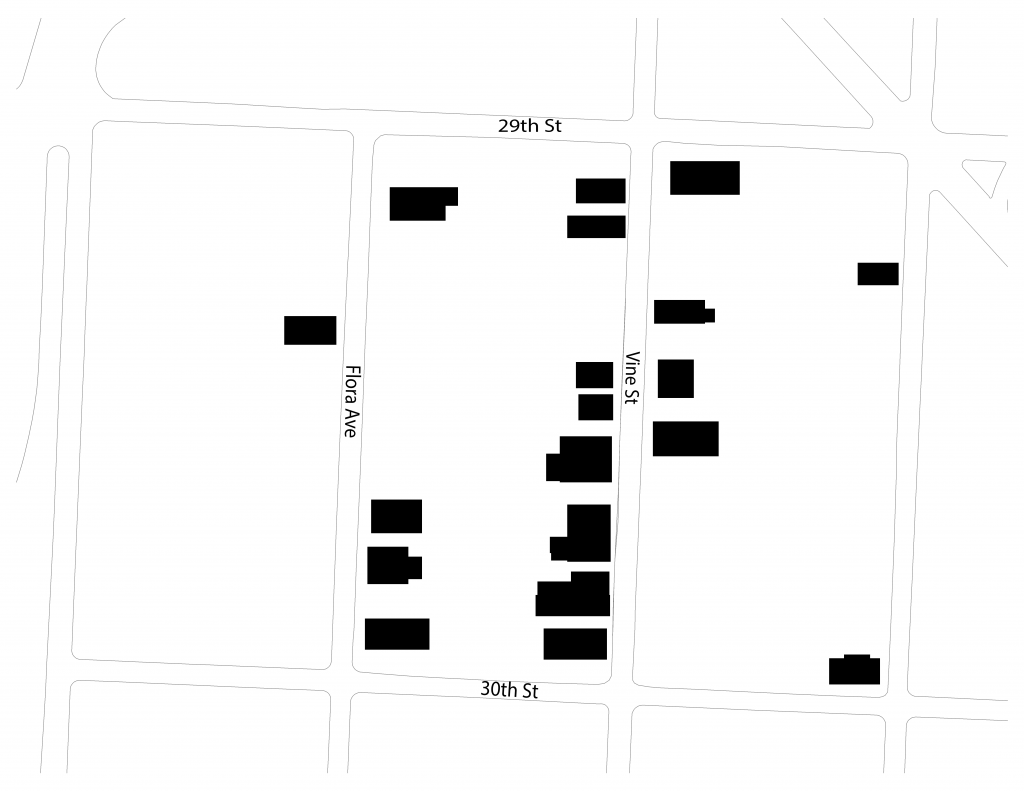
The 1925 Atlas Map of Kansas City shows significant development along Wayne Avenue between 29th and 30th. Many single-family and multi-family structures have been built in the area since the 1885 Sanborn Map.

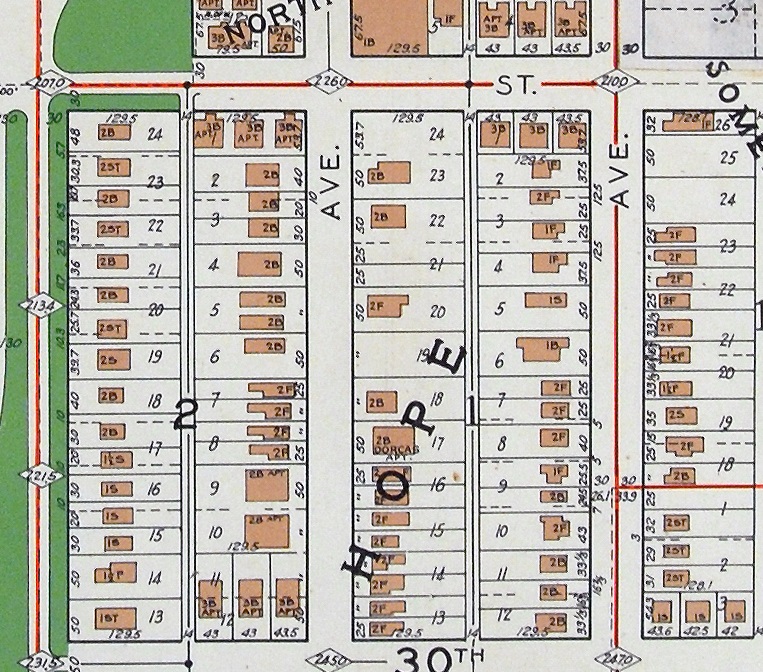
In the 1950s, the number of buildings seemed to stay the same. At this time, the areas around Troost Park are still predominately residential.
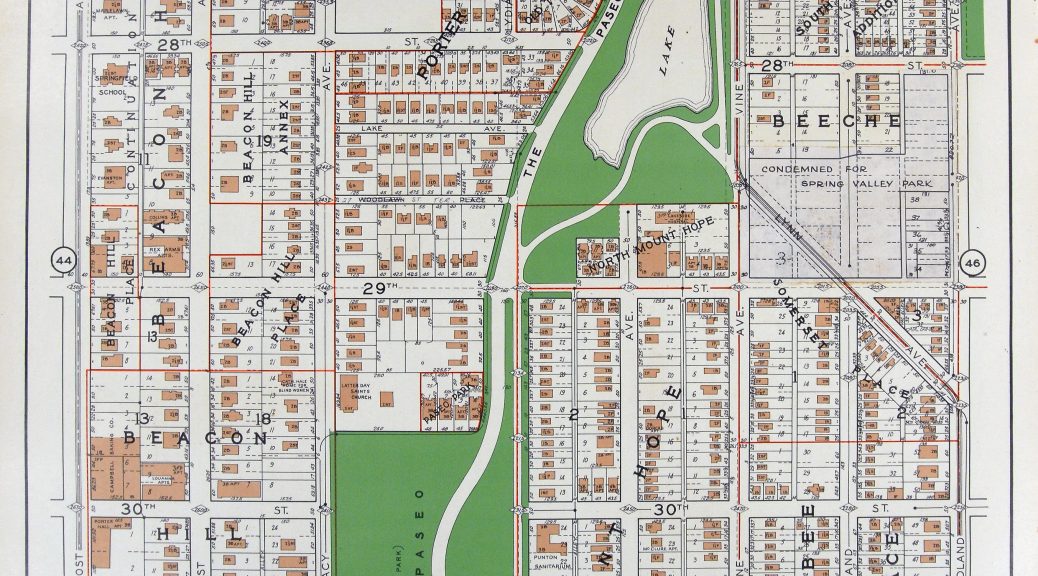
In the 1990s, Wayne Avenue lost a large portion of the housing stock between 29th and 30th street. This decrease in housing may be attributed to the development of highway 71 east of the study area as well as the economic decline of the neighborhood as a whole.
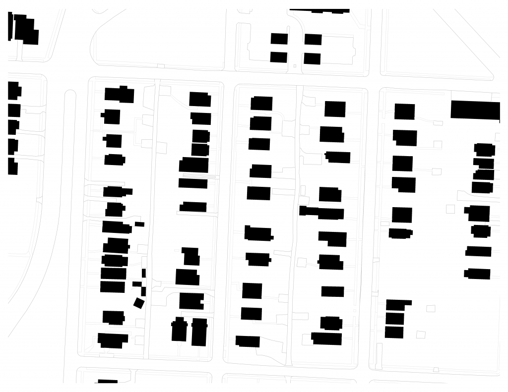
The current housing conditions of the area are somewhat similar to those of the 1990s. Many of the historic homes along Wayne Avenue are still existing with the addition of some newer structures.
Sources: 1885 Sanborn Fire Insurance Maps. https://kchistory.org/sanborn-maps/
1925 Kansas City Atlas. https://www.jchs.org/atlases-and-plat-books
1990s Historic Aerials. https://www.historicaerials.com/viewer
2020 Map of Kansas City. https://maps.kcmo.org/apps/parcelviewer/