A look into the past development of the corridor near ‘The Landing’
First development
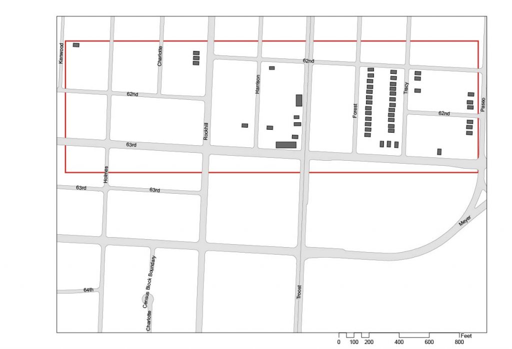
Development of the area first arrives in the lake 1800’s as the area was beginning to be platted off with the ‘Troost Ave. Lawn’ development. On April 20th, 1887 Charles Nesbit was approved by the city of Kansas City, Missouri to begin developing the “part of the south east quarter of the north east quarter of section 5 township 48, range 33 in Jackson Co. Mo” . Many others followed soon after with ‘Astor Place’ being the next plat on July 14th, 1887, with Holmes splitting it right in the middle. The ‘Southmoor’ subdivision that hugs the east side of Tracy Ave. was platted in October of 1909 and the final plat, ‘Dyer Place’ that is just west of Tracy, opposite of Southmoor was platted in march of 1910.
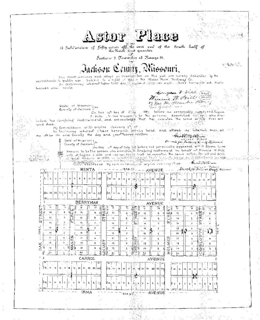
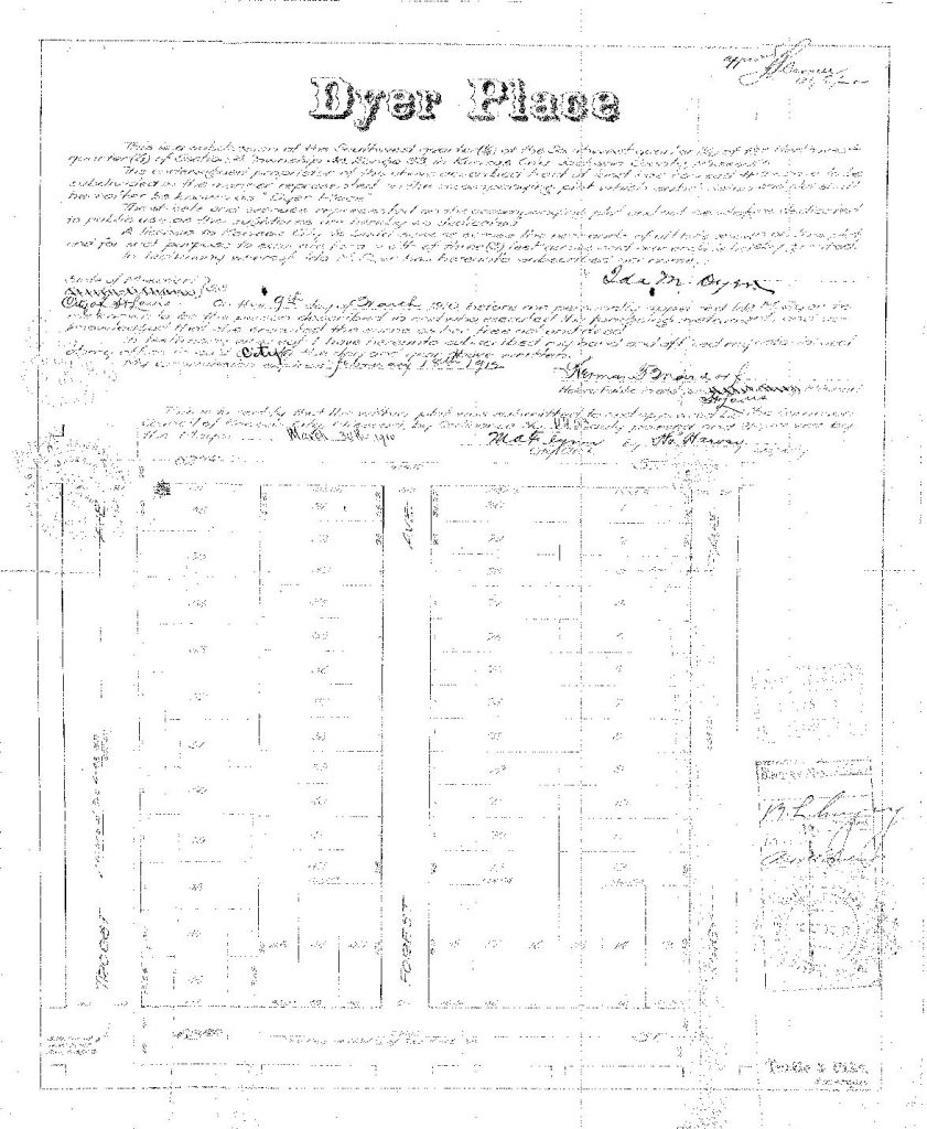
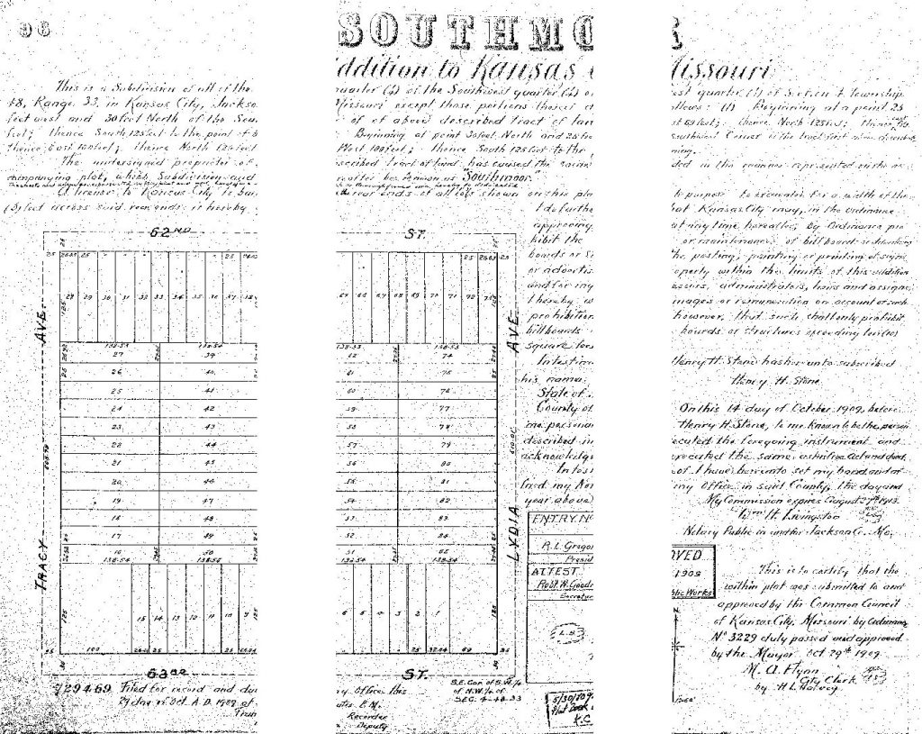
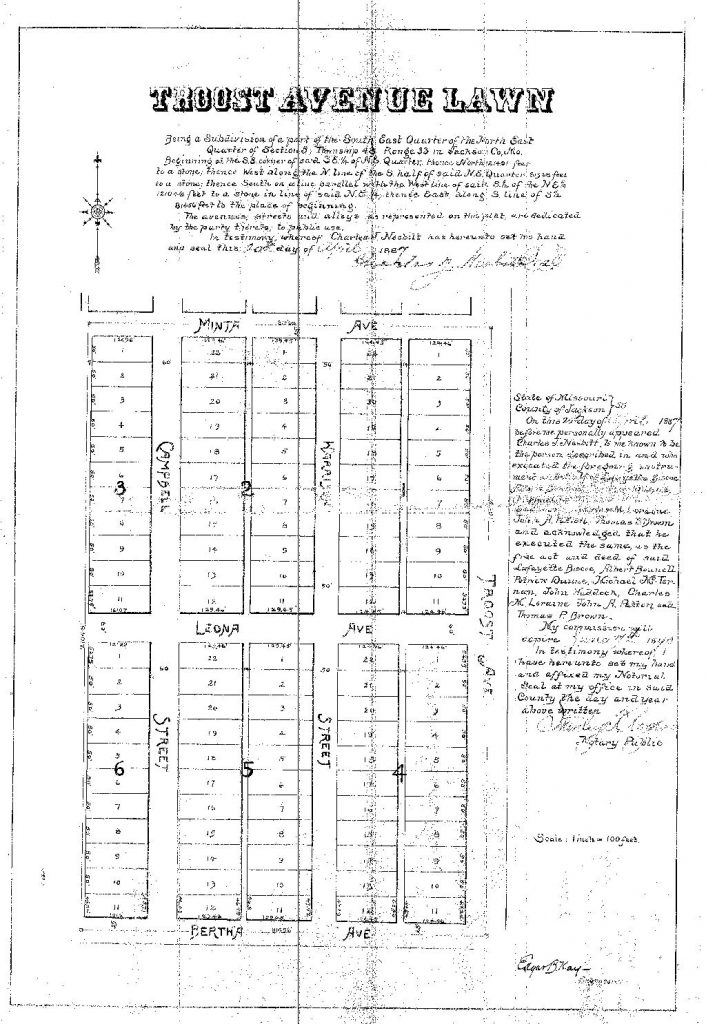
Gallery 1. 63rd Street Corridor Plats -Courtesy : JacksonCounty.gov public records
Neighborhood Shaping
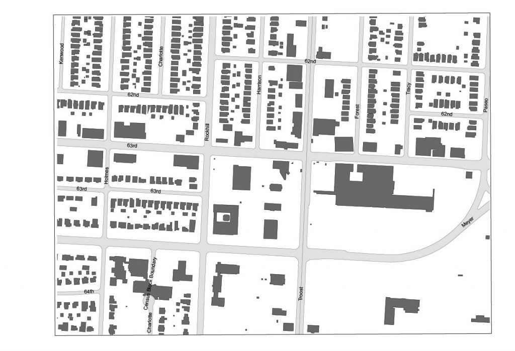
The neighborhood structure grew exponentially within the early 1920’s and holding steady with the mall being an addition in the early 60’s. The decrease in the neighborhood structure really is showing in more current times as some of the neighborhood mesh is being unwoven. The streetcar suburb’s network was created to be moderately dense for easier walk ability with the streetcar use but since the automobile came to rule the area, this has made the high density less desirable.
Analytical Thoughts
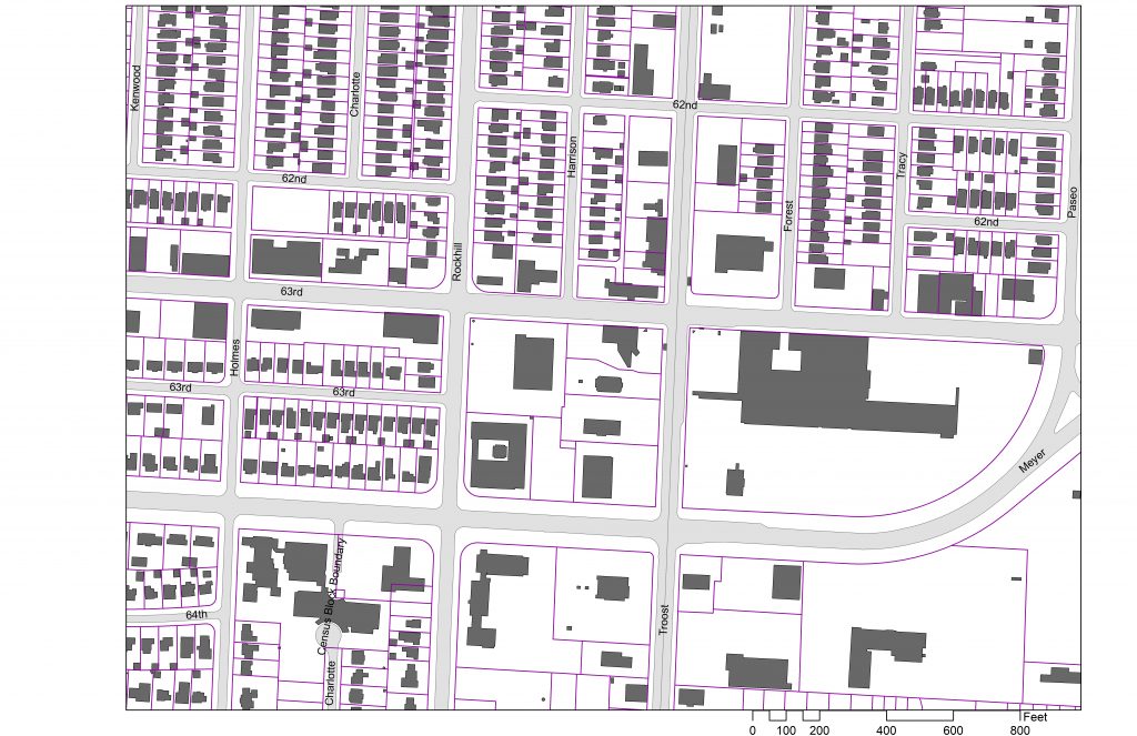
The neighborhoods surrounding the Landing mall reflect what is going on inside. through the years it is apparent that it has had a booming time between the opening of the mall in 1961 and the early 90’s while it has rapidly lost business in the present. There is still a strong neighborhood network that with a little more connectivity to the streets and surrounding area, could improve the quality of the forgotten mall.