
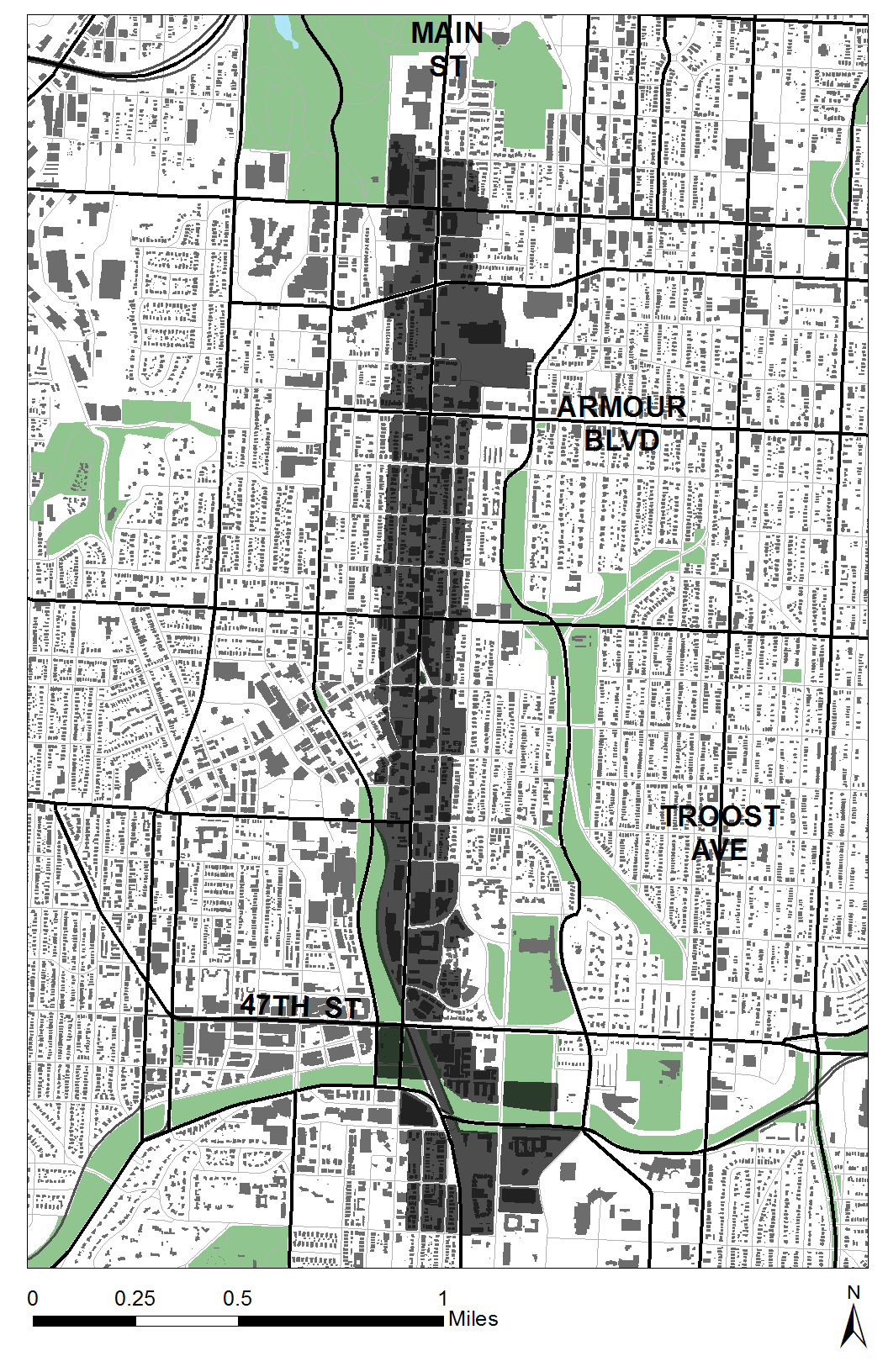
For this Project our class as a whole set out surveying the Main Street Corridor, from 31st to 51st, along Baltimore and Walnut as well. Armed with clipboards and a detailed guide of the Land Based Classification Standards categories we began the tedious process of categorizing the parcels we were assigned.
The LBCS is broken down into subcategories to help classify the details about the particular piece of land. The categories are Activity, Function, Structure, Site, and Ownership.
Activity refers to the use of the land based upon its observable characteristics. The most common activities in the corridor were Residential and Commercial.
The second category is Function, this relates to how the parcel of land operates in terms of money. This helps with classifying the way a building is used and the impact it can have on the surrounding buildings. The economic function is separate from the activity although there can be some correlation.
Structure refers to the type of building or structure on the site. The description can be very narrow or broad depending on the level of detail collected. The four digit code allows for the number of Units in the structure to be categorized rather than simply listing it as multi-family .
Site refers to the physical development of the piece of land. This category explains what is on the land and the variety of human manipulation the site has had. A vacant lot and a lot with some landscaping would be labeled differently.
Ownership refers to its use and the land rights. Relying solely on function to determine ownership is only one part of the picture, but there could be some parcels of land that don’t fit into the those limited categories. We used to this category to show Owner occupied areas, public private spaces, non-profit ownership and lease agreements . There is also a category for showing how the parcel is in relationship to the public easement or if it is by the parks association, or Transit/ Port authority.
Each of these categories are broken down with four digit number codes, and specific RGB codes for the larger categories. Unfortunately we didn’t find a good way to show the higher level of definition in terms of color.
Another role of mine in the group project was to compare the existing land use and zoning with the results we found.
