
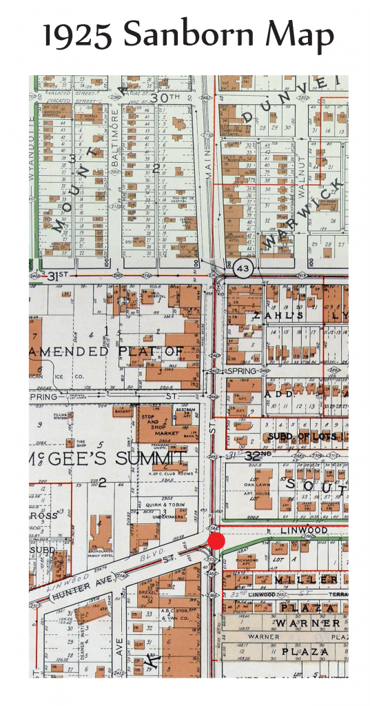
From the 1925 Sanborn Map of the area of 30th Street to Linwood Boulevard was mostly residential with commercial activity predominantly located near Main Street. At Spring Street (Later Renamed to 31st Terrace and Main Street there is a Stop and Shop Market. This site changes considerably and is eventually transformed into Car Dealership.
![]()
In 1957, you can start to see the influence of the automobile and with the widening of roads and the increase of more streets. Over the next few decades building developments switch from small front setbacks to buildings with larger setbacks surrounded by parking.
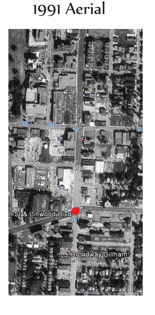
In the 1991 aerial images there is also evidence of a decrease in trees in the streetscapes as the city grows. There is an increase of density south of Linwood Boulevard. More Space was dedicated for parking for the McGilley Midtown Chapel area. There is a change from residential housing to commercial uses along Linwood Boulevard. Presently many areas that were once houses have now become Parking Lots.

From the current figure ground image there is evidence that there were buildings that were destroyed to create the parking lot for the Home Depot, 111 E Linwood Blvd. Baltimore now stops at 30th street and no longer continues north. There was a clearing of the lots south of 31st Terrace, and Lack of activity at 30th and Main Street.