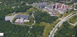
I was assigned 35th Street from Chelsea Ave. to Emanuel Cleaver II Blvd, which is attributed to census tract 58.1. Kansas City has historically had a low representation of non-Whites, in 1950 they only represented 13% of the population in the City, which rose somewhat in 2000 to 31.2, and by 2010 non-Whites represented only 29% of the overall population. When taking the census tract into consideration, it is immensely clear that non-Whites in Kansas City are segregated from White communities, they are not receiving adequate education (by 2010 the educational attainment was high school graduate), they are working low paying jobs, and are forced to live in poverty conditions. This is some of the information gleaned from gathering this data, and for census tract 58.01, which is east of Troost, the 1950 to 2010 is representative of White flight and segregation of non-Whites.
