INTRODUCTION
Prospect Avenue is a major arterial road in Kansas City, Missouri, most known for the
devastated condition of its adjacent neighborhoods. The corridor runs north to south from about 12th Street to 75th Street. The development of adjacent neighborhoods largely began at Kansas City’s core, and graduated southward. This project intends to use maps and photographs to analyze the bordering Prospect blocks between E 46th Street and Swope Parkway in order to draw conclusions about historical development along the corridor.
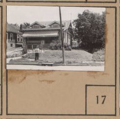
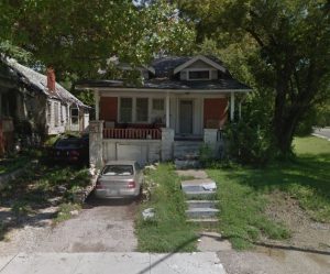
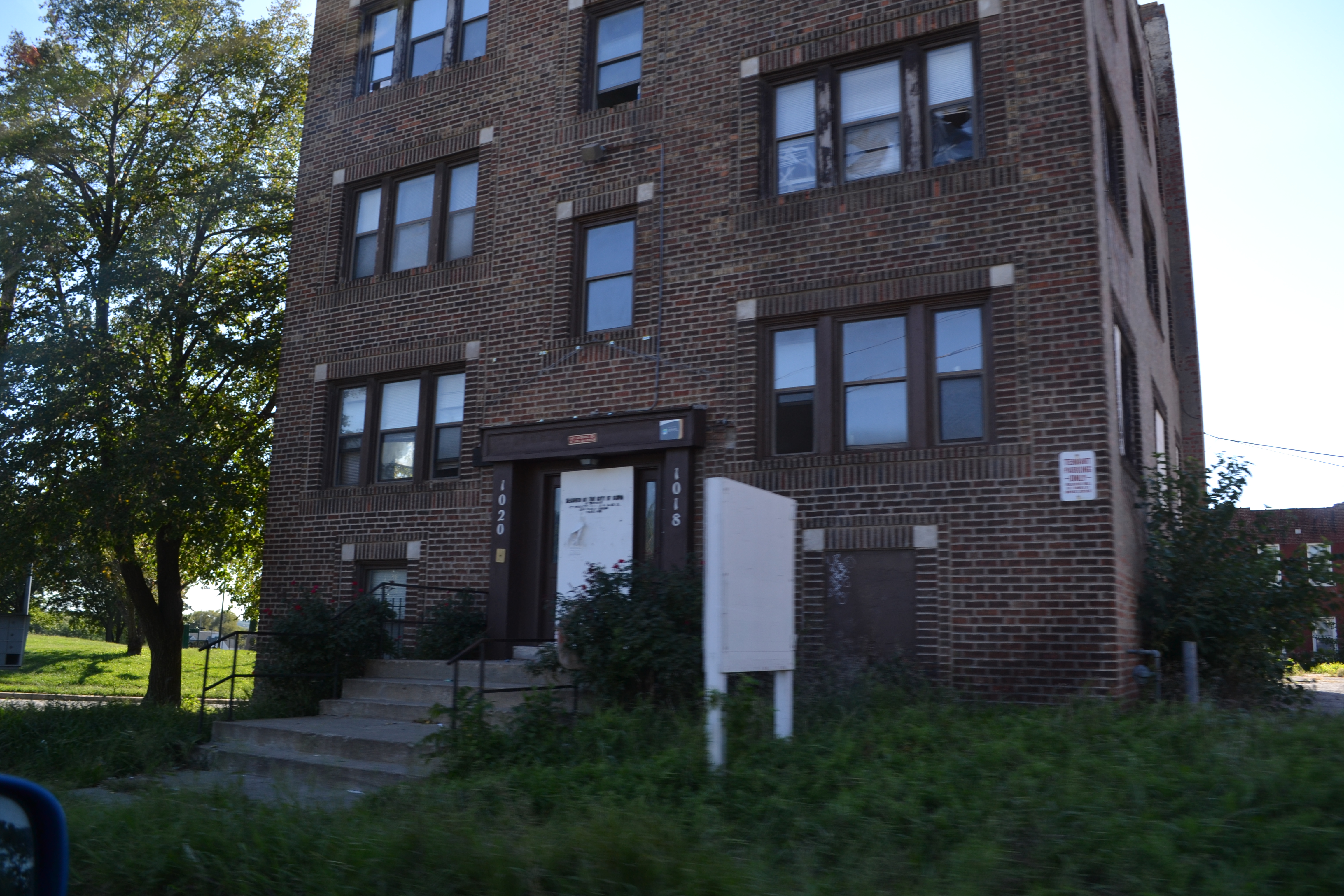
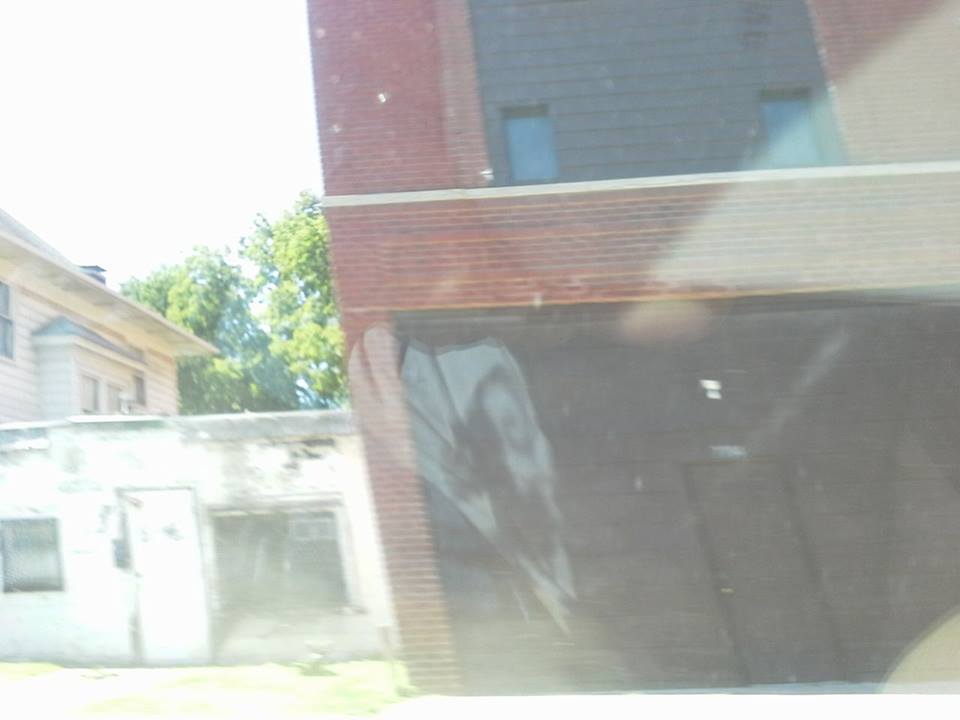
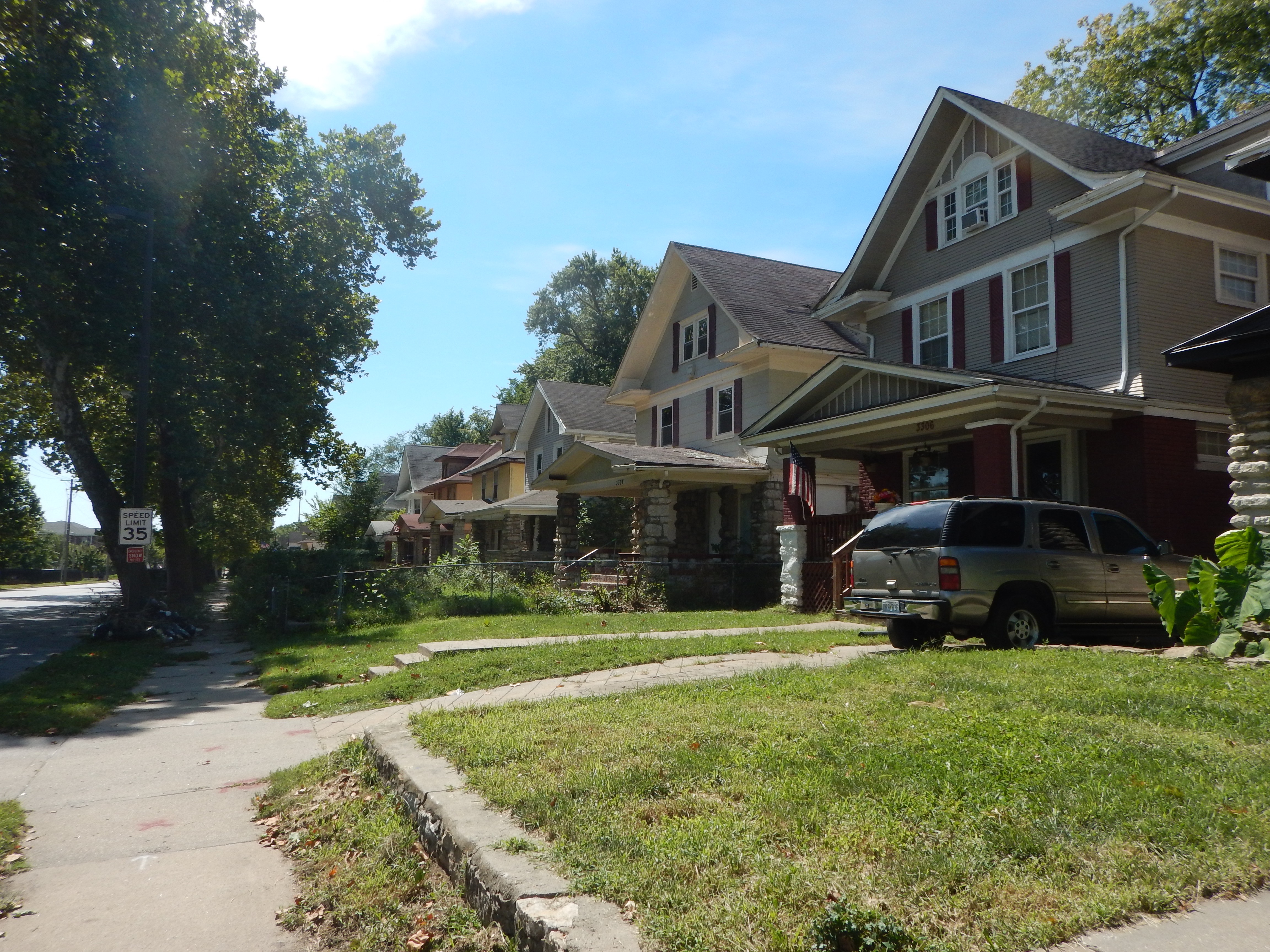
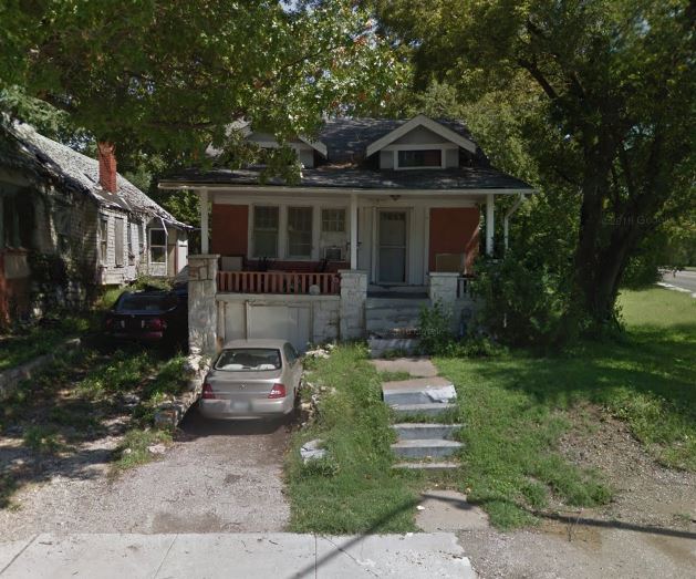
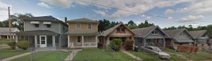
Many of these blocks contain architecture that is emblematic of the Kansas City region. Since Kansas City’s development timeline generally runs north to south, there is a gradient in housing typology. The single-family homes in the study area are quite similar to much of the residential architecture in Kansas City’s midtown region. The figures above illustrate a home that is located on the corner of Prospect and Emanuel Cleaver Boulevard that existed in 1940, during which the Kansas City’s Tax Assessment photographs were taken. Many of the homes along the prospect corridor are historic and are expressive of the 20th century, as many residencies are in the prairie (above), bungalow, or foursquare architectural style.
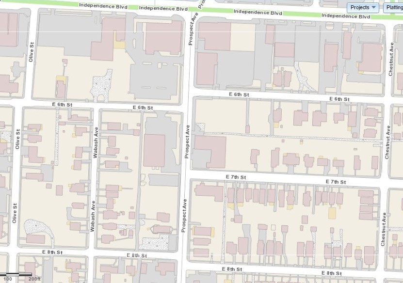
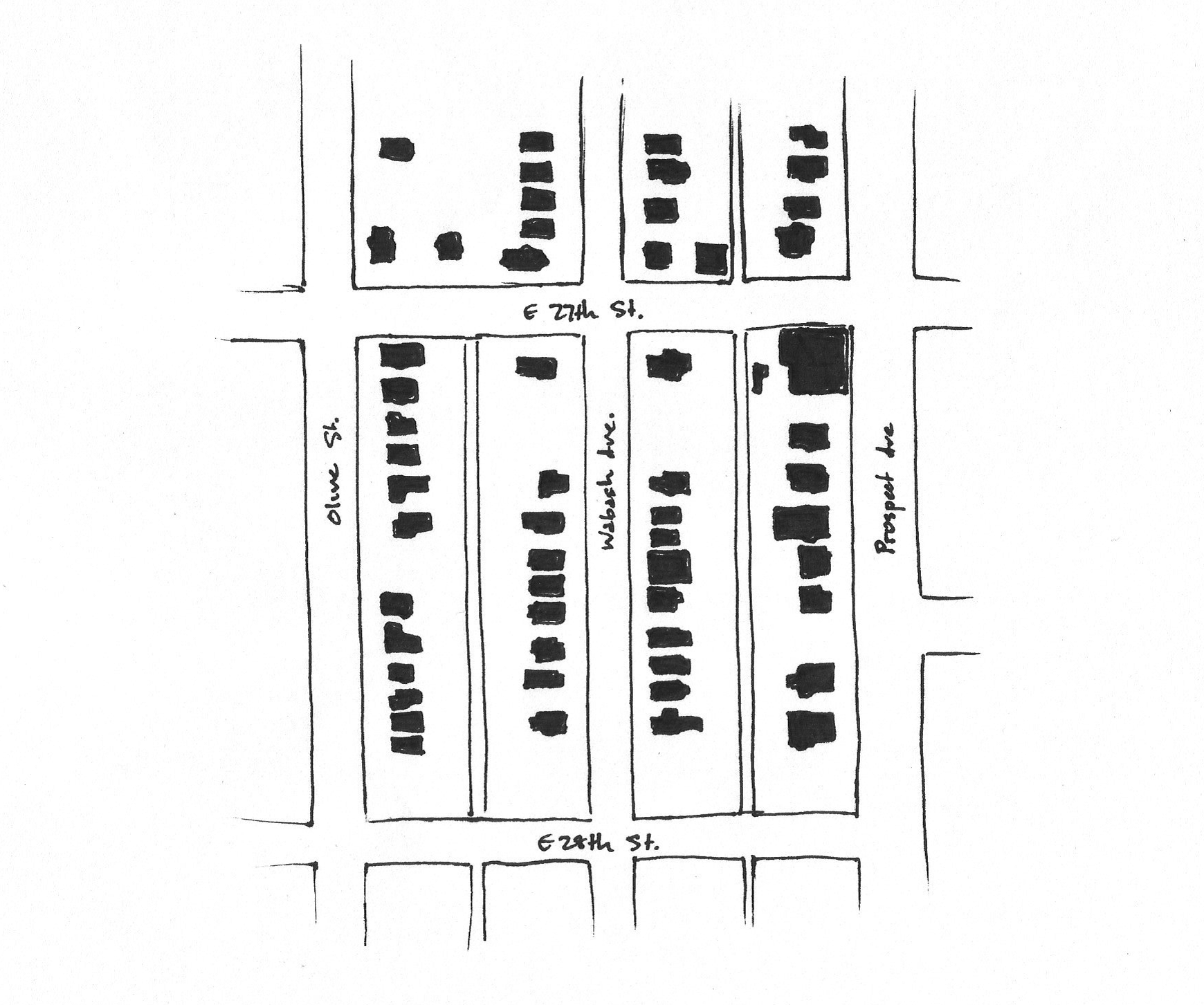
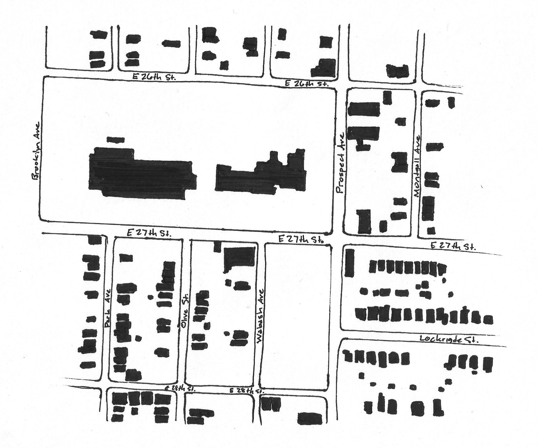
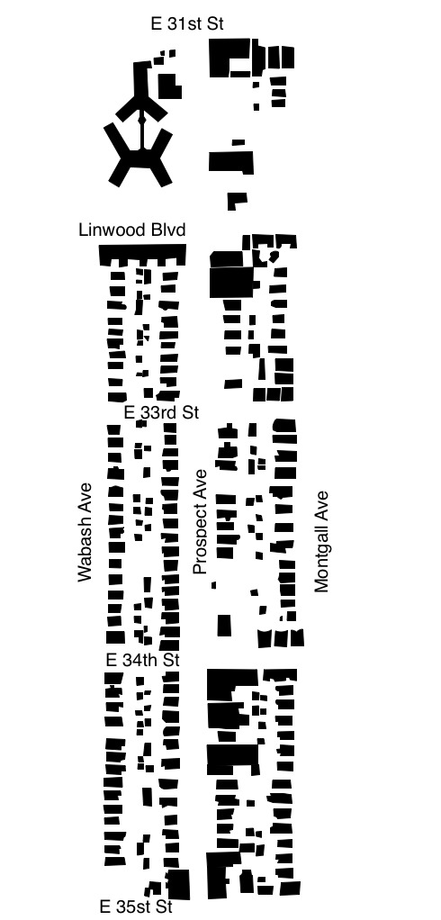
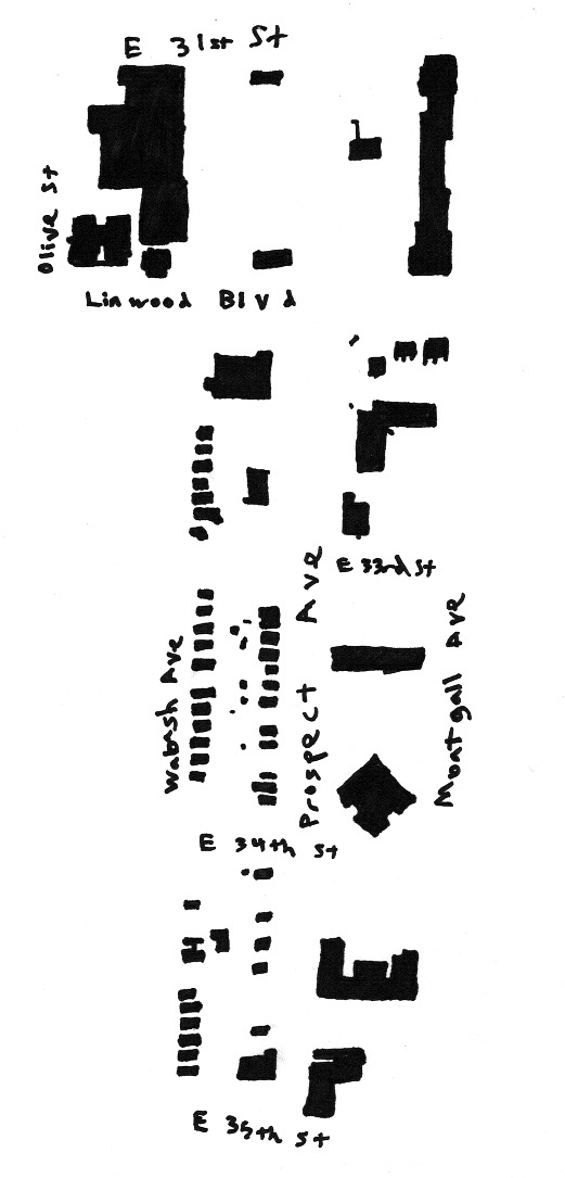
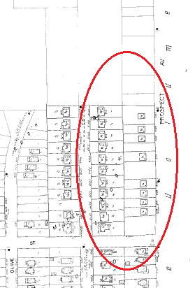
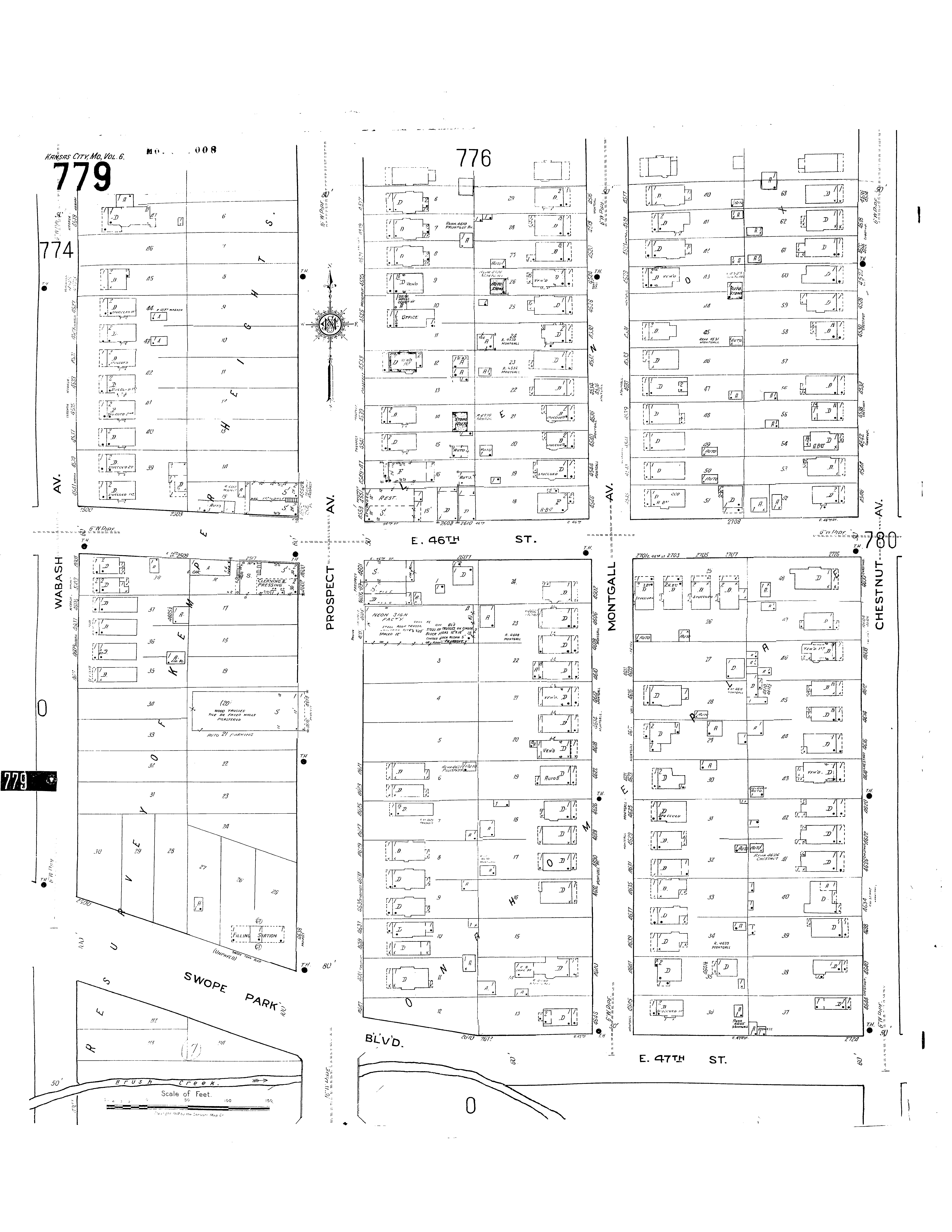
Figure Ground Study
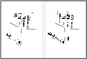
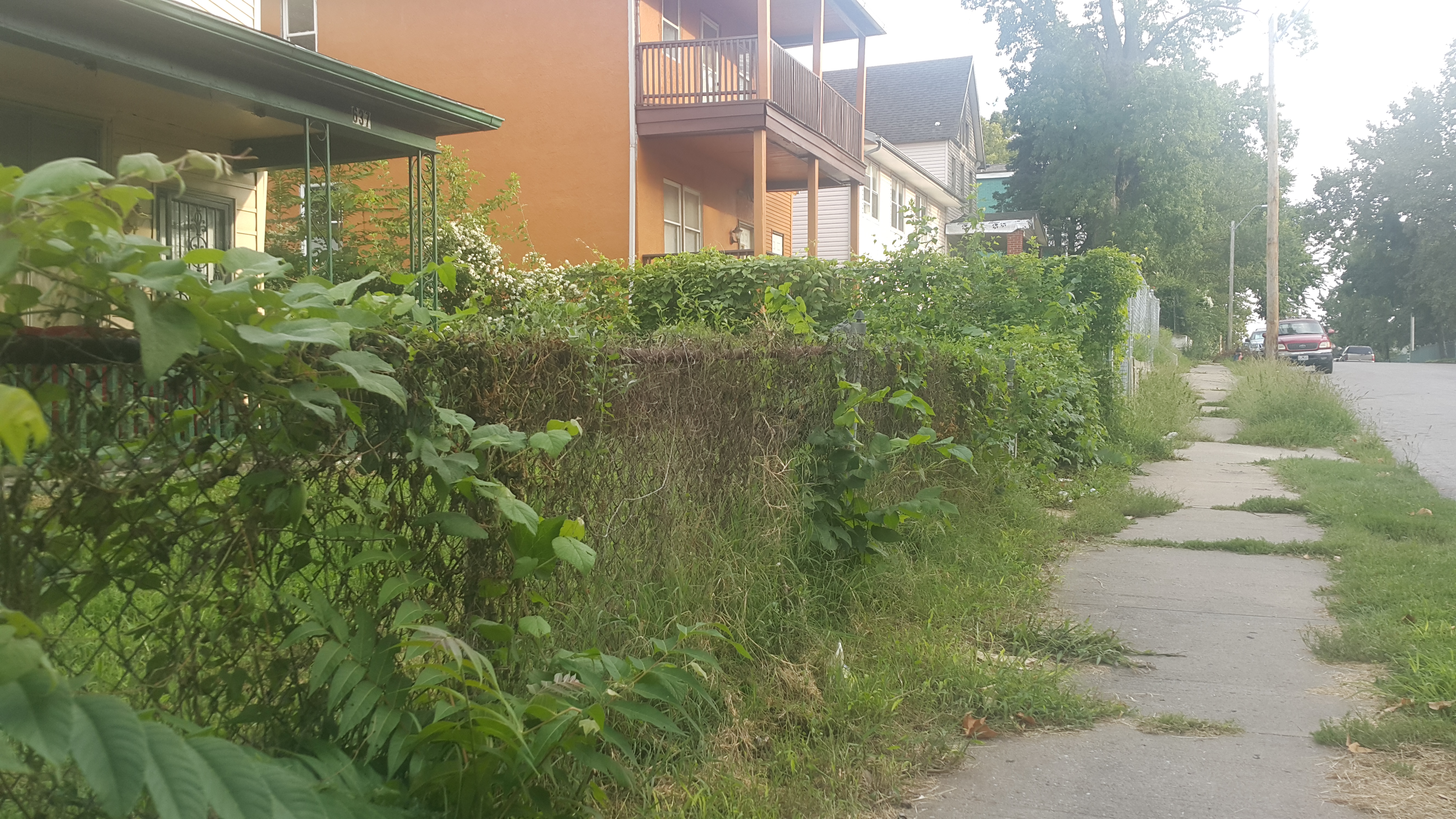
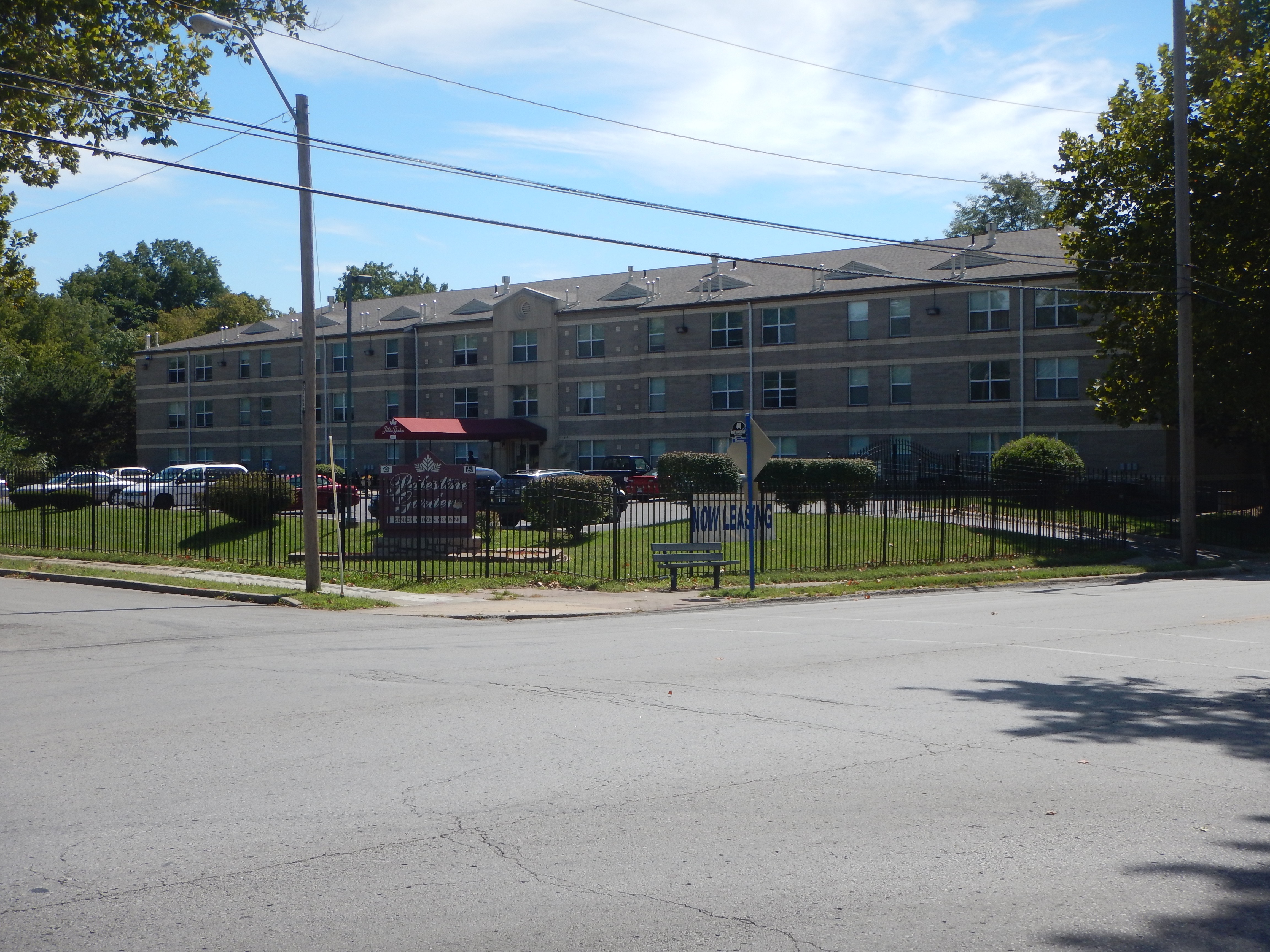
Unsurprisingly, the lots along this region of Prospect Avenue has increased in vacancy. The residential blocks along the corridor have suffered from disinvestment and mass-demolitions, and these blocks are expressive of that. However, the lots along Swope Parkway have established reverse patterns, as the block has become denser over time. This may be due to commercial and institutional land-use patterns along Swope, as well as higherdemands for property owners to be located on Brush Creek, located in-between Swope and Emanuel Cleaver II.
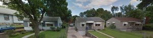
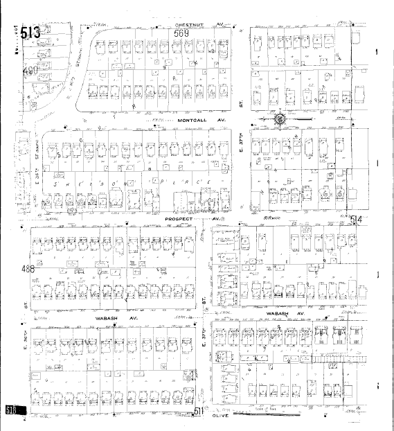
The east-side of Wabash Avenue shows a difference in density patterns. By referencing the figure-ground diagrams, we can see that the buildings on the southern part of Wabash have not been constructed yet. The homes along the north-part of Wabash Avenue have existed since the 1940s and are demonstrative in their architectural style. However, on the same street, we can see that newer development patterns are not only less dense, but contrast with the historic character of the neighborhood. It is a speculation that this type of development pattern may appear often along the corridor, as infill efforts in the blighted neighborhoods are financially challenged when constructing new homes.
Time Periods
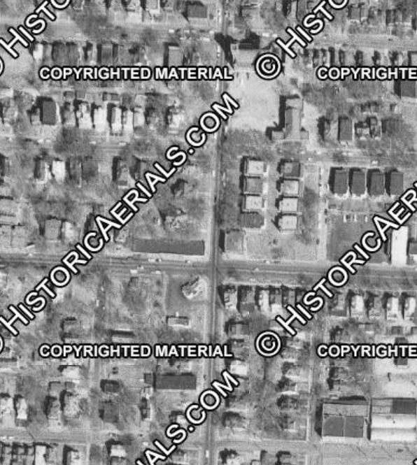
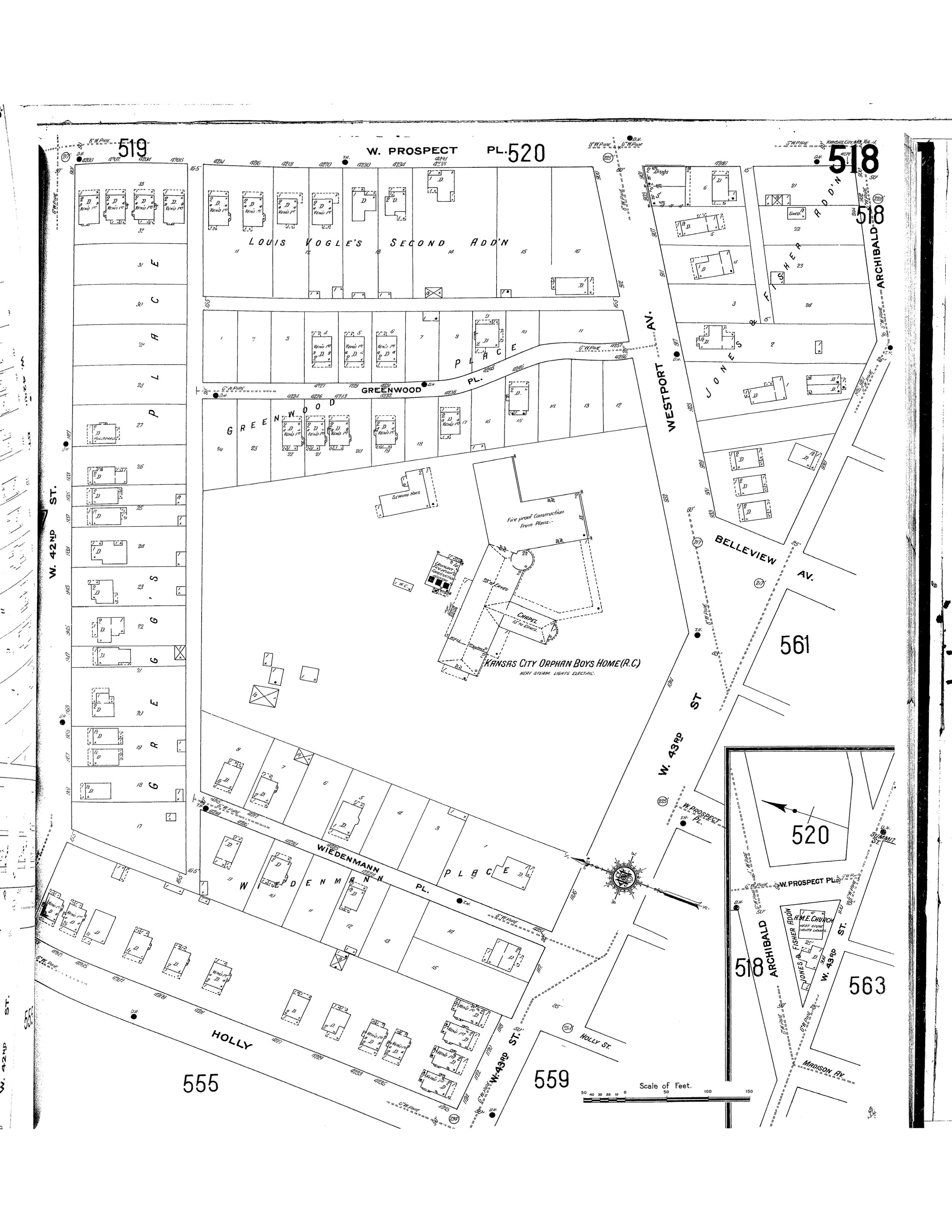
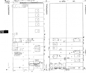
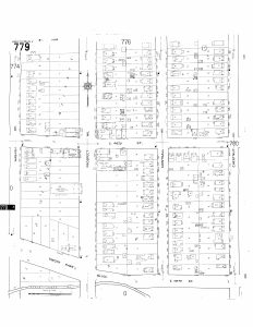
First Record of Development (1917)

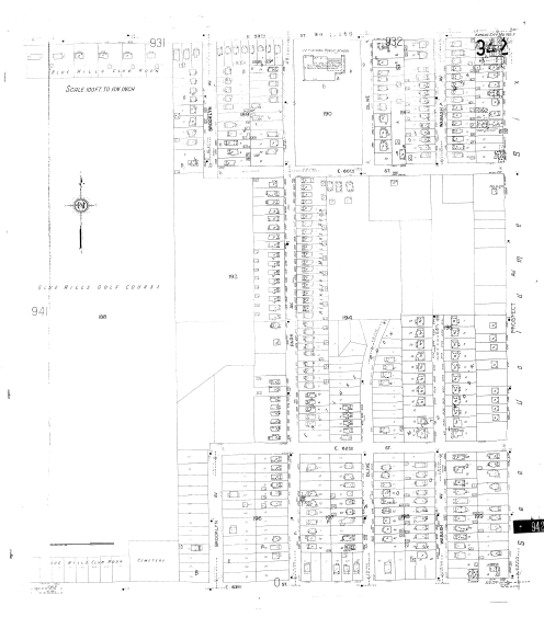
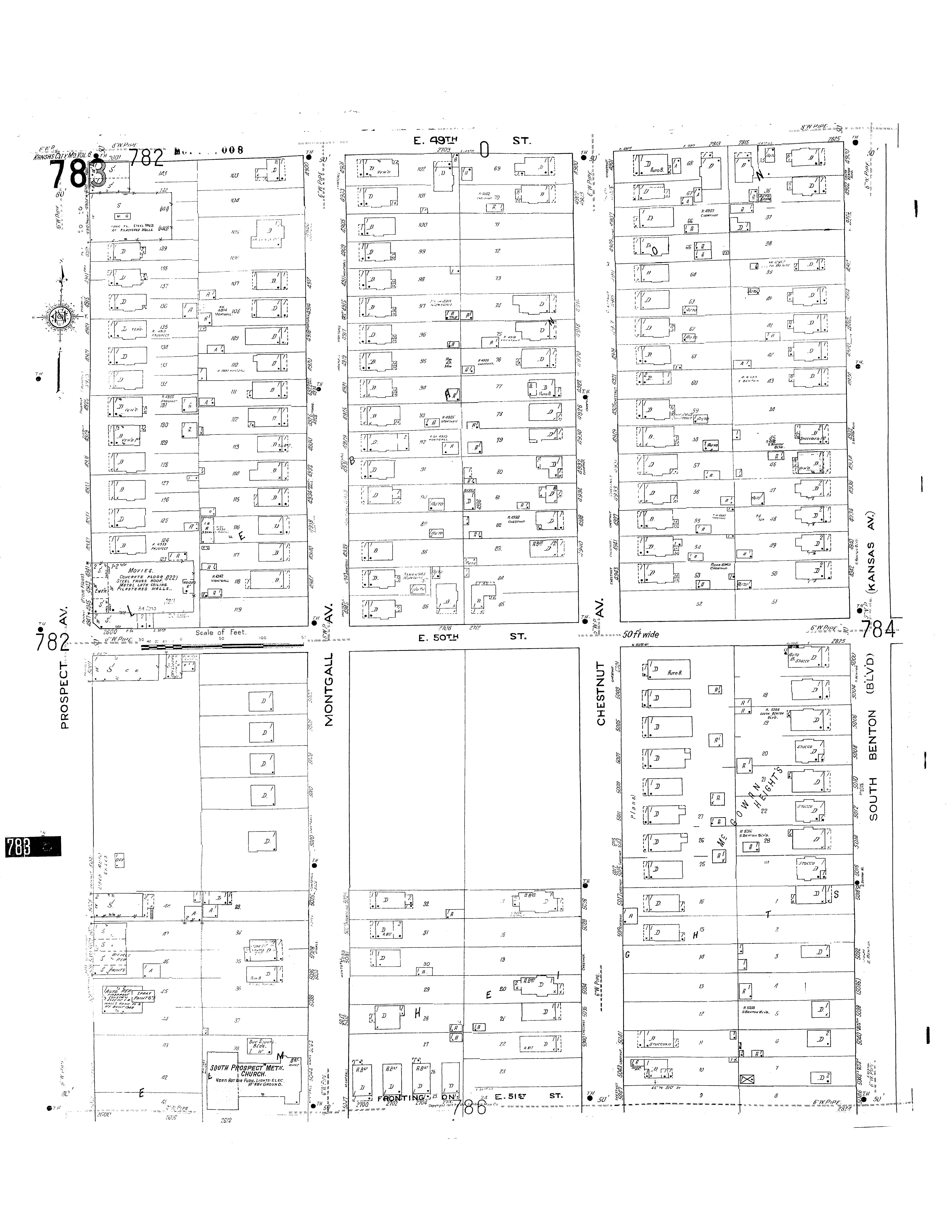
Volume 6 of the 1917 Sanborn collection
shows first signs of development on the
featured blocks. During this time, most of
the residential development was
happening along the adjacent streets,
rather than directly on Prospect. The
building footprints along Prospect show
some residential homes, but most of the
buildings are industrial land-uses centered
on intersections. The development near
Brush Creek (to the south) is very
limited, possibly due to flood hazards.
This era is characteristic of the early 1900s
during post-street car build-outs, but
pre-mail-order age.
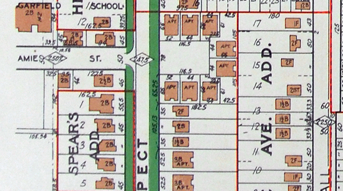
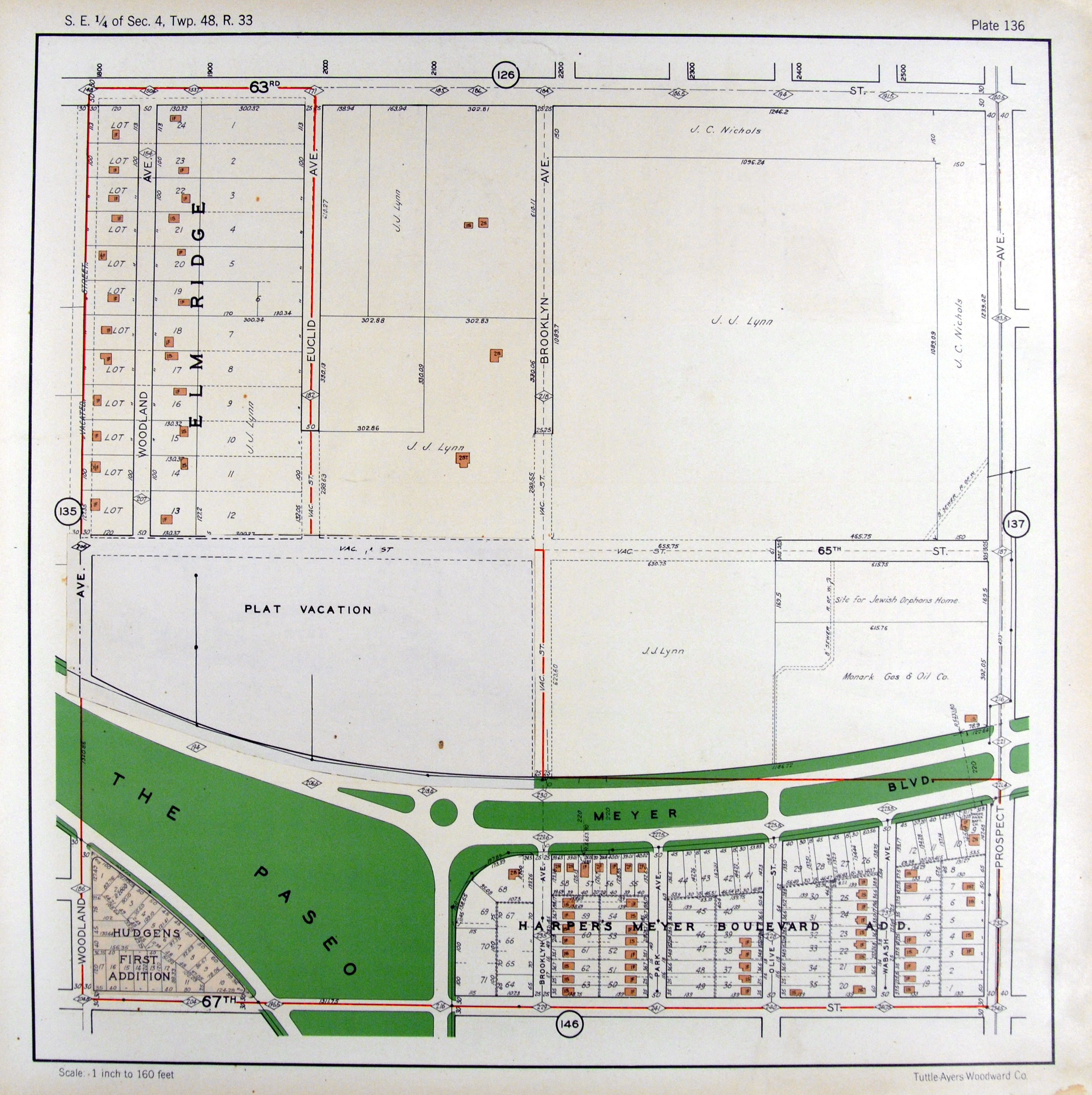
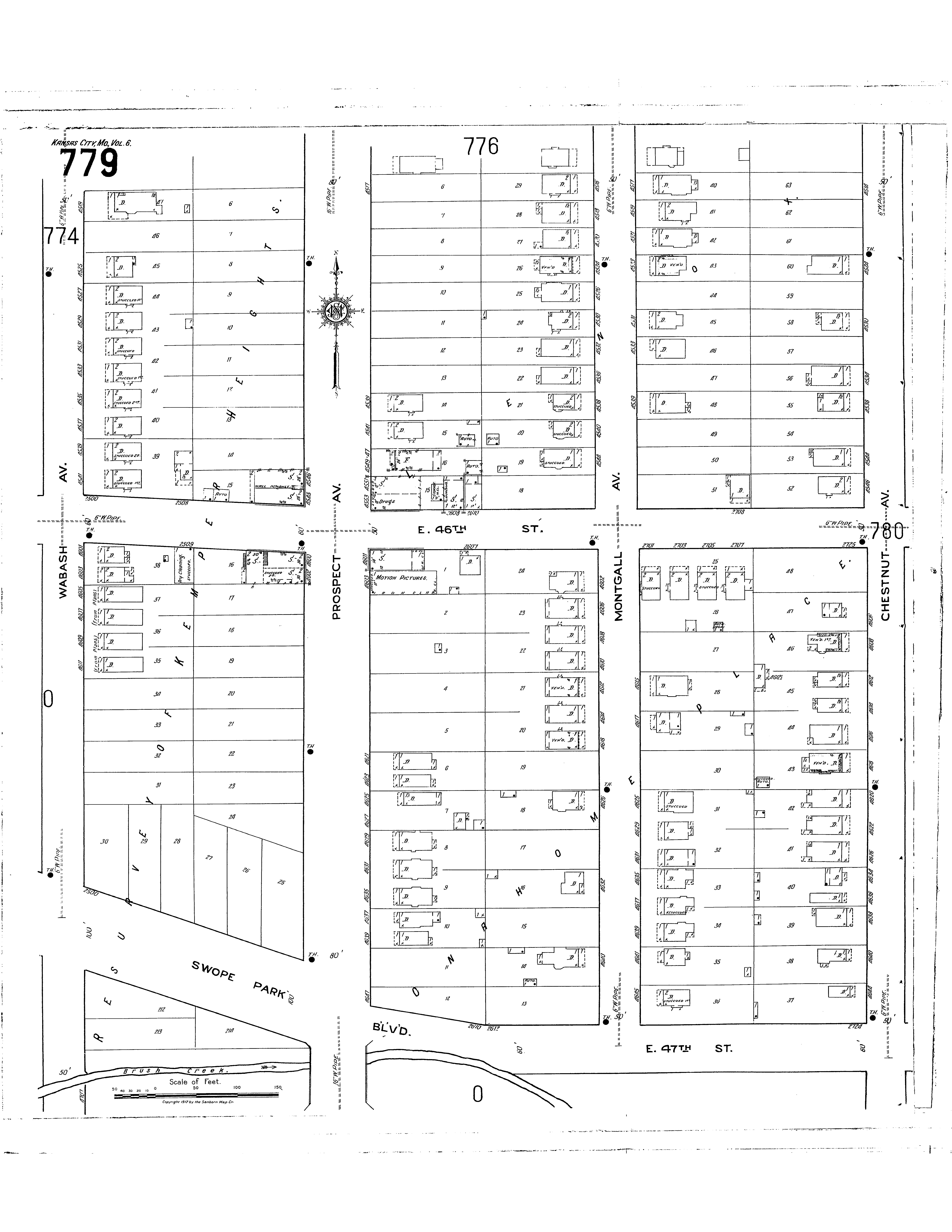
1925 Atlas
By 1925, residencial density along
Prospect has increased. The the adjacent
blocks in this area seem to increase as well.
Although this era may be the peak of
residencial density in the zone, many of
the blocks that border Brush Creek
continue to go unused. The Country Club
Plaza opened two years prior to 1925 and
Brush Creek today acts as a major
predestrian connection to the district.
However, at this time, the creek was
unpaved and parcels along the Brush
Creek near Prospect probably faced the
threat of flood.
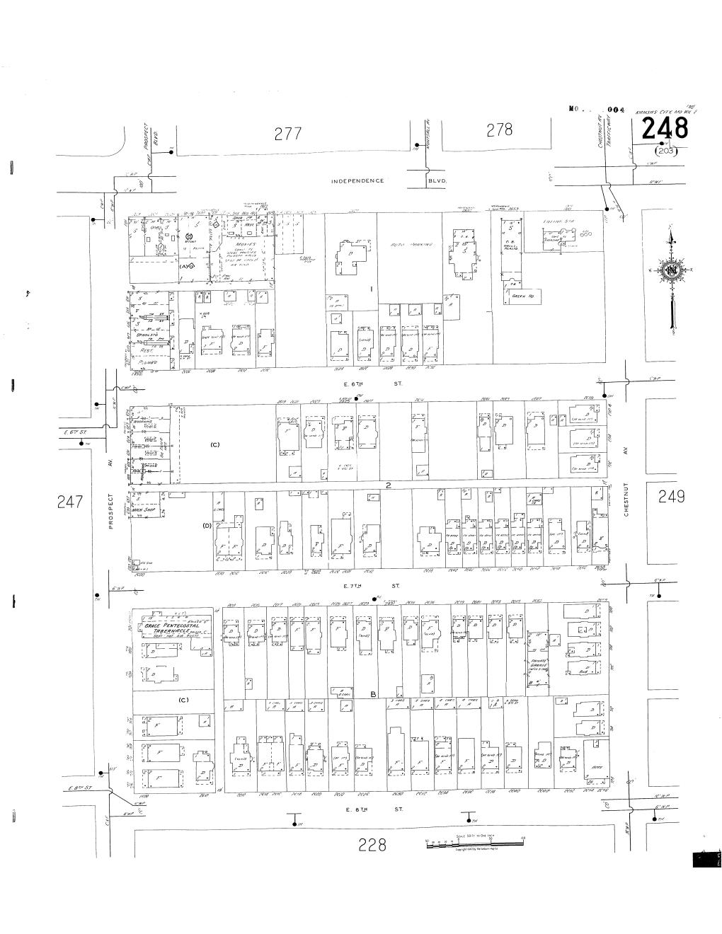
Figure 5. Sanborn Fire Insurance Maps. (1917).
Figure
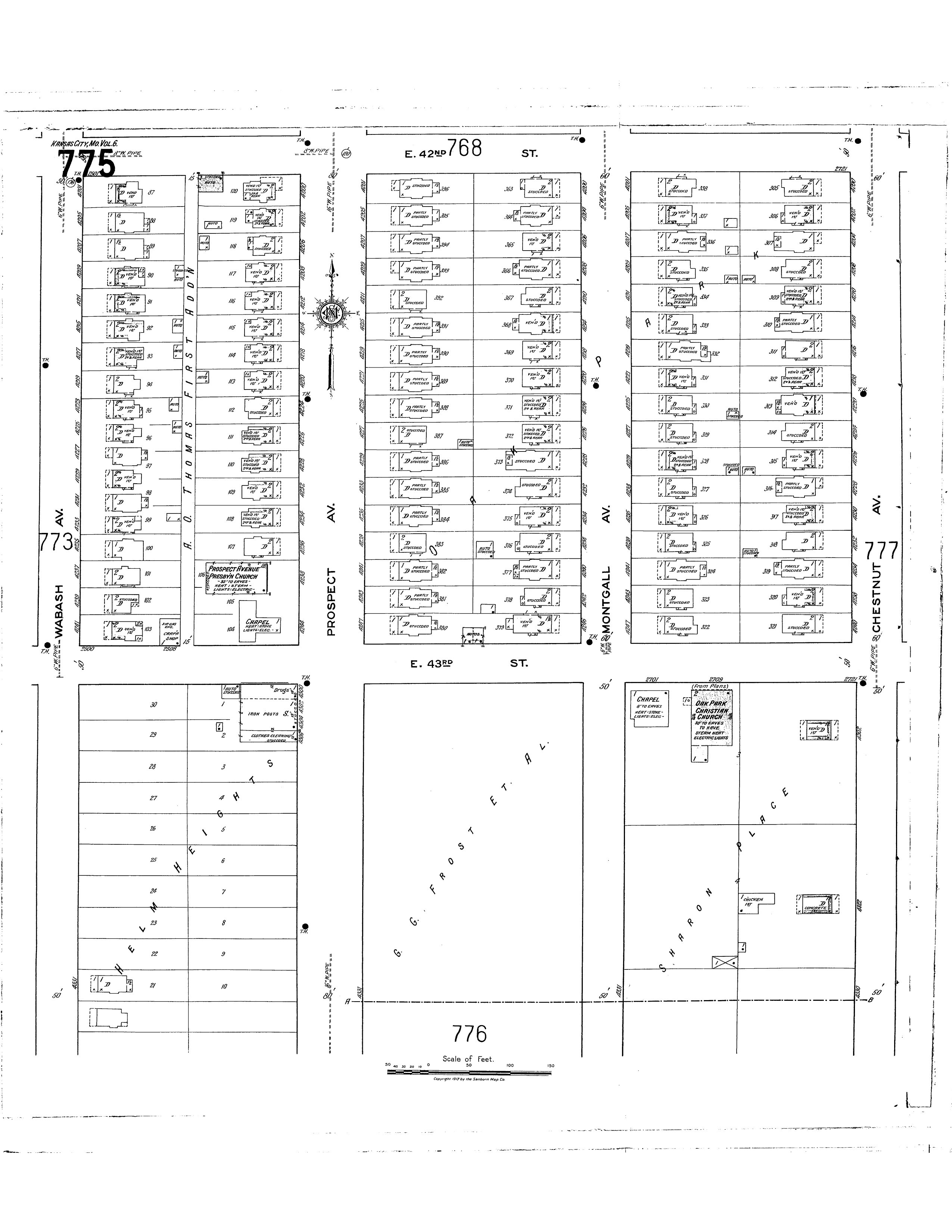
Mid Century (1950s)
By mid-century, many of the lots adjacent to
Prospect Avenue began to fill up. Residential lots along Montgall, east of Prospect, are dense, while the western block of Wabash sees little growth. This is contrary to present-day trends, where development interests tend to shift
westward. These patterns may be explained by flooding hazards along the creek.
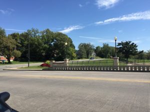
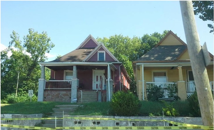
However, there is evidence from the Jackson County 1940s Tax Assessment photos that there was institutional development trends along the south-side of Brush Creek, just south of the study-area. This development may have been motivated by the recent paving of Brush Creek, which occured during the 1930s. Mary’s
Catholic Church (figure), which no longer
exists, was located at 2322 Swope Parkway during the 1940s.
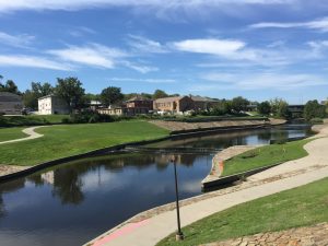
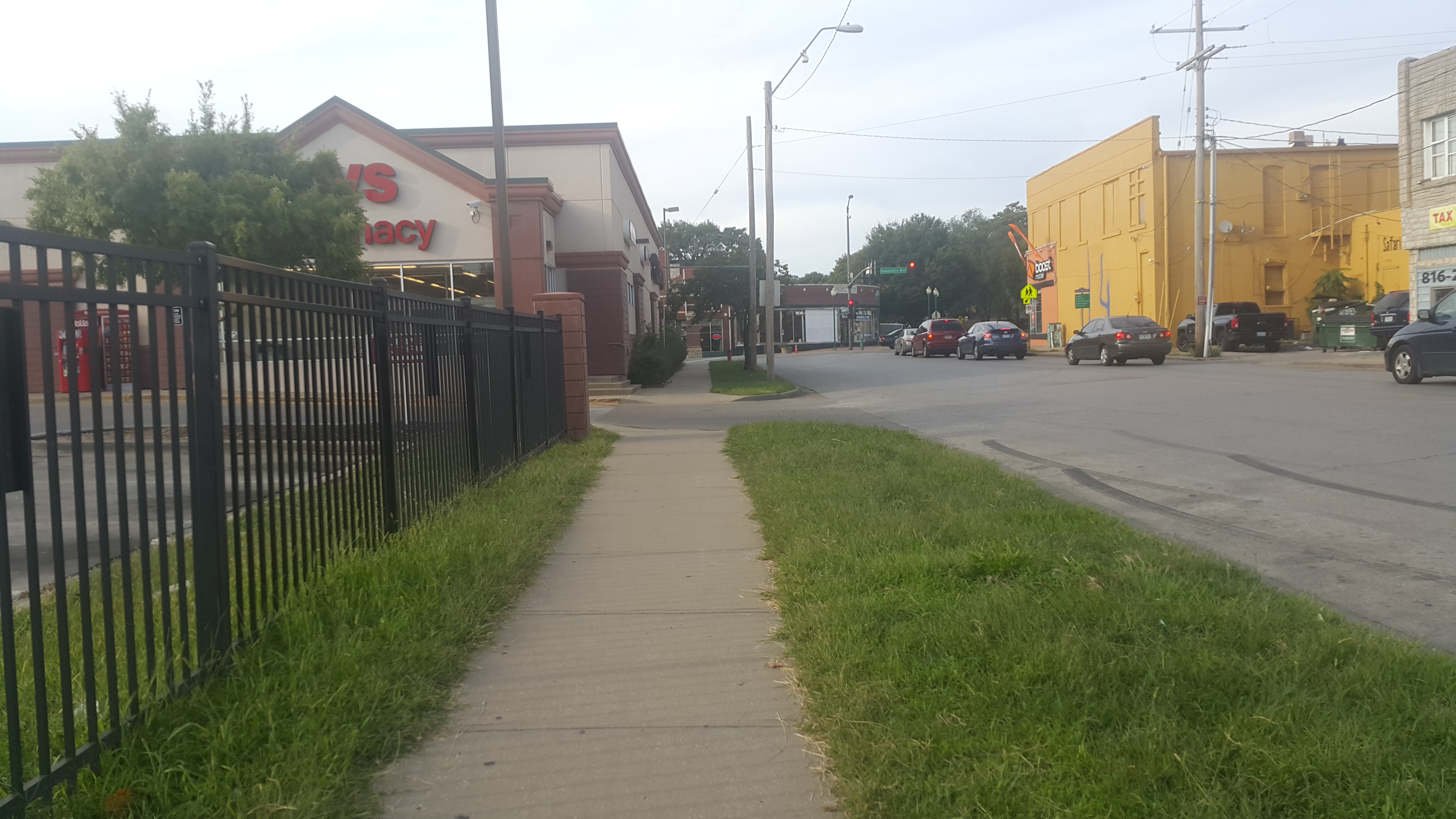
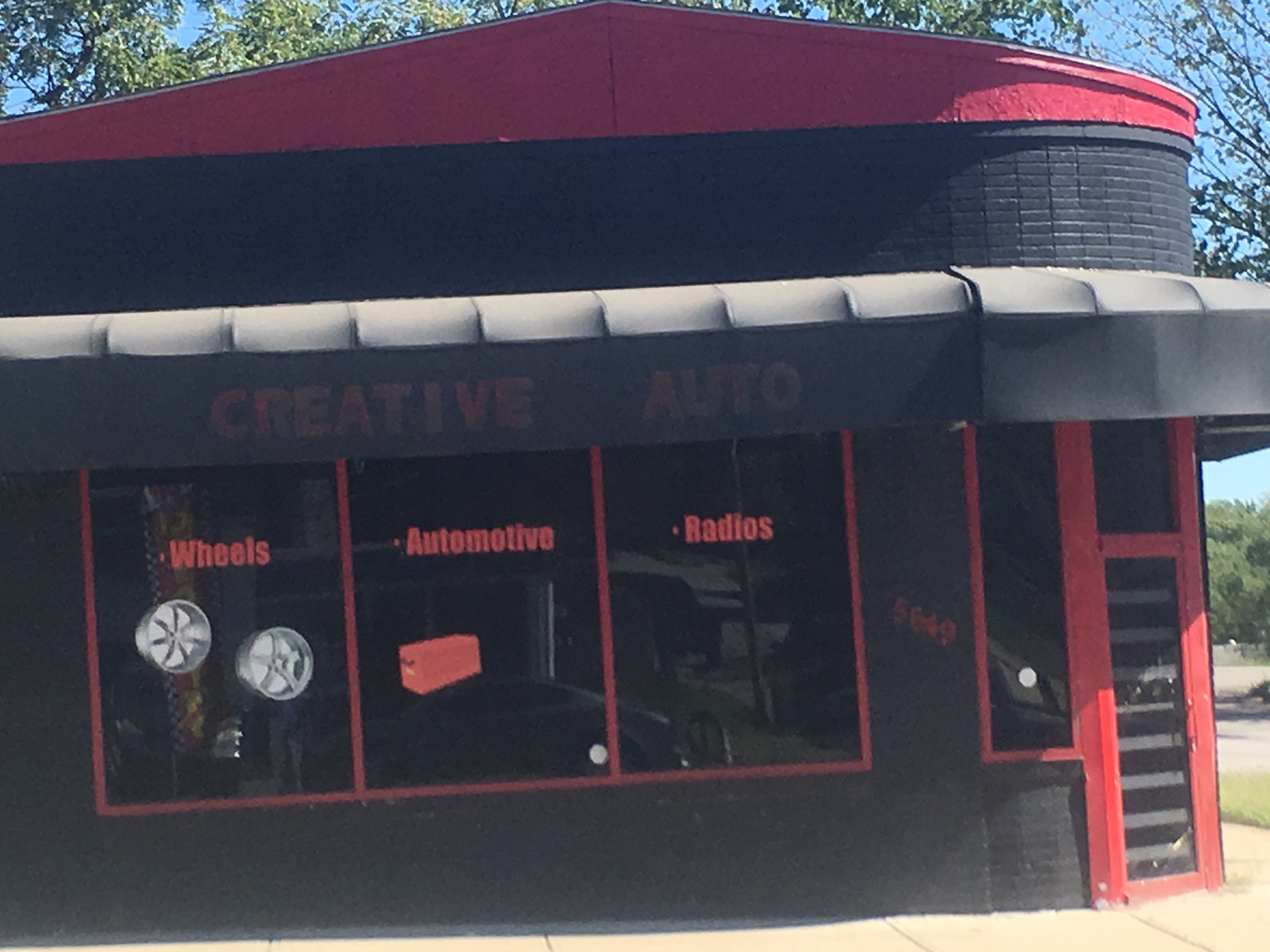
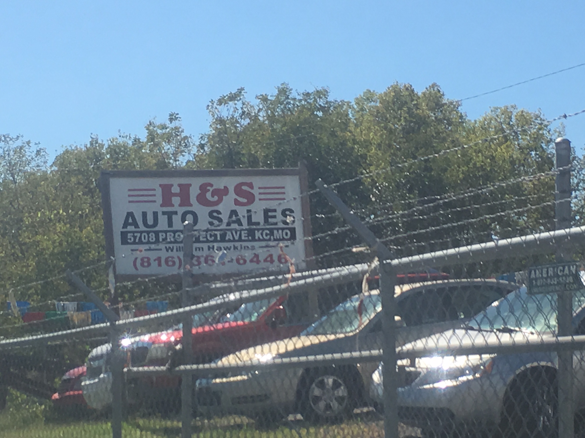
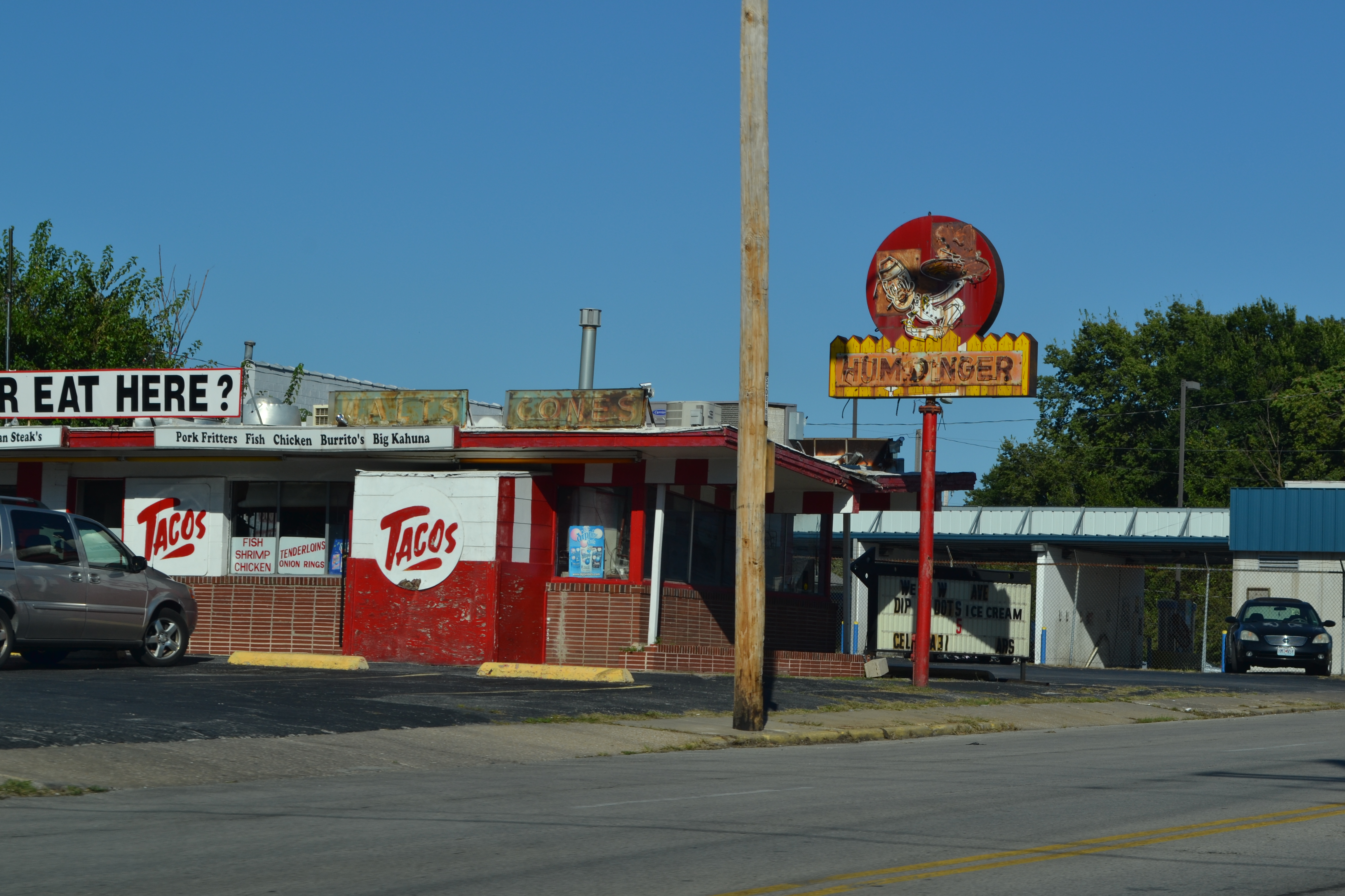
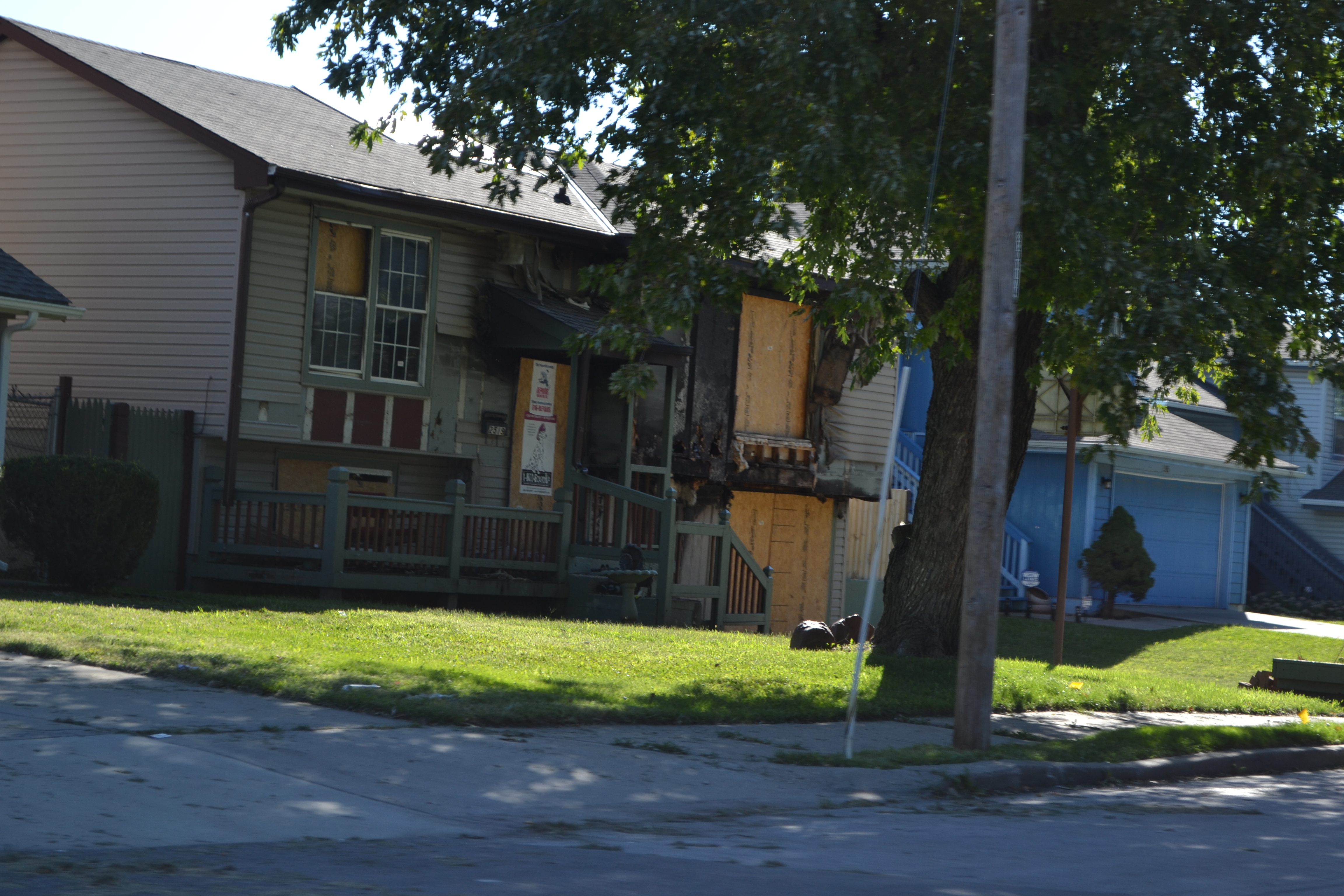
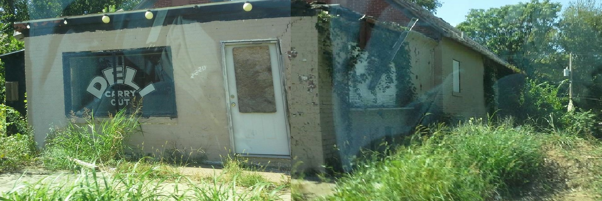
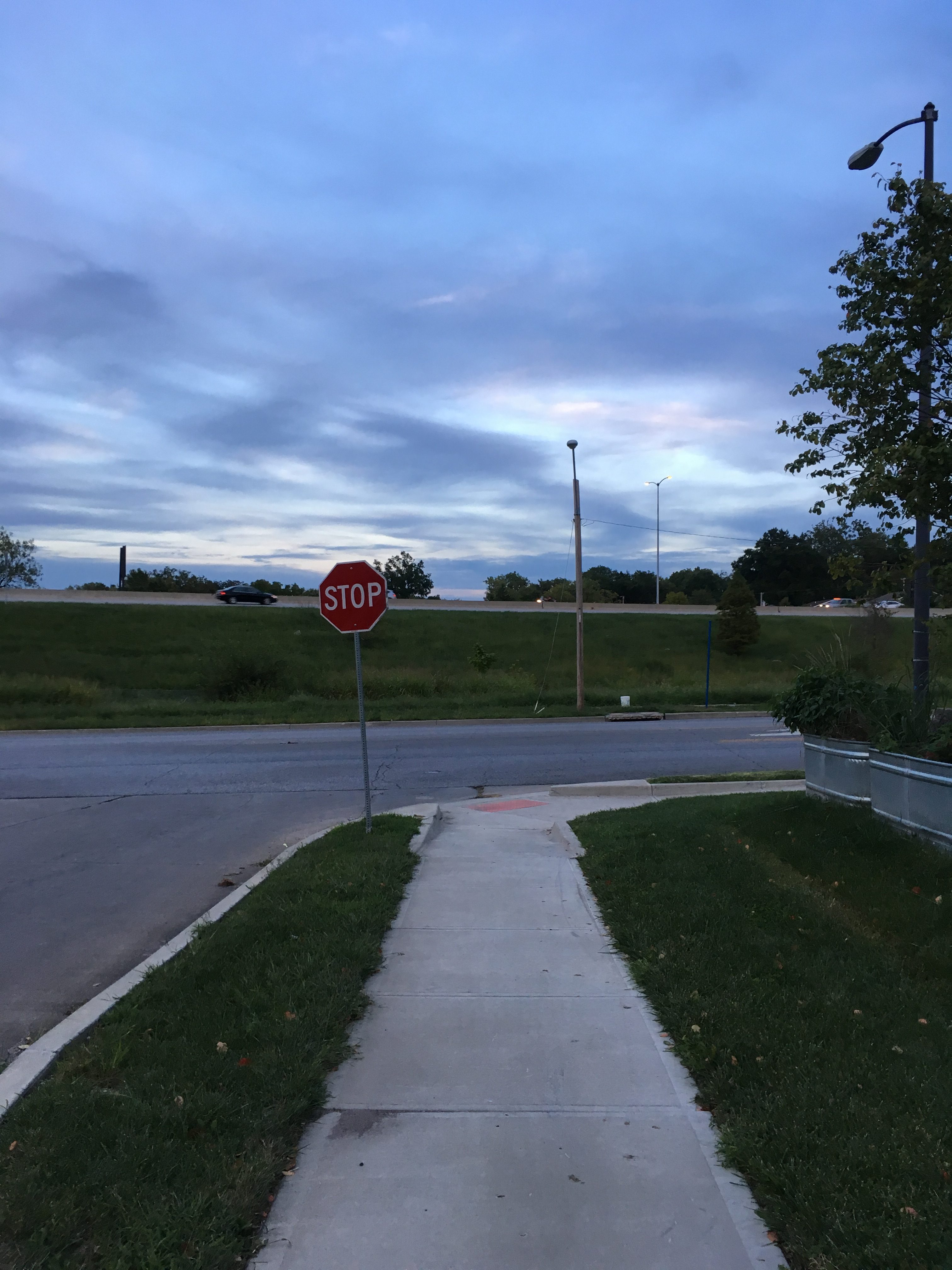
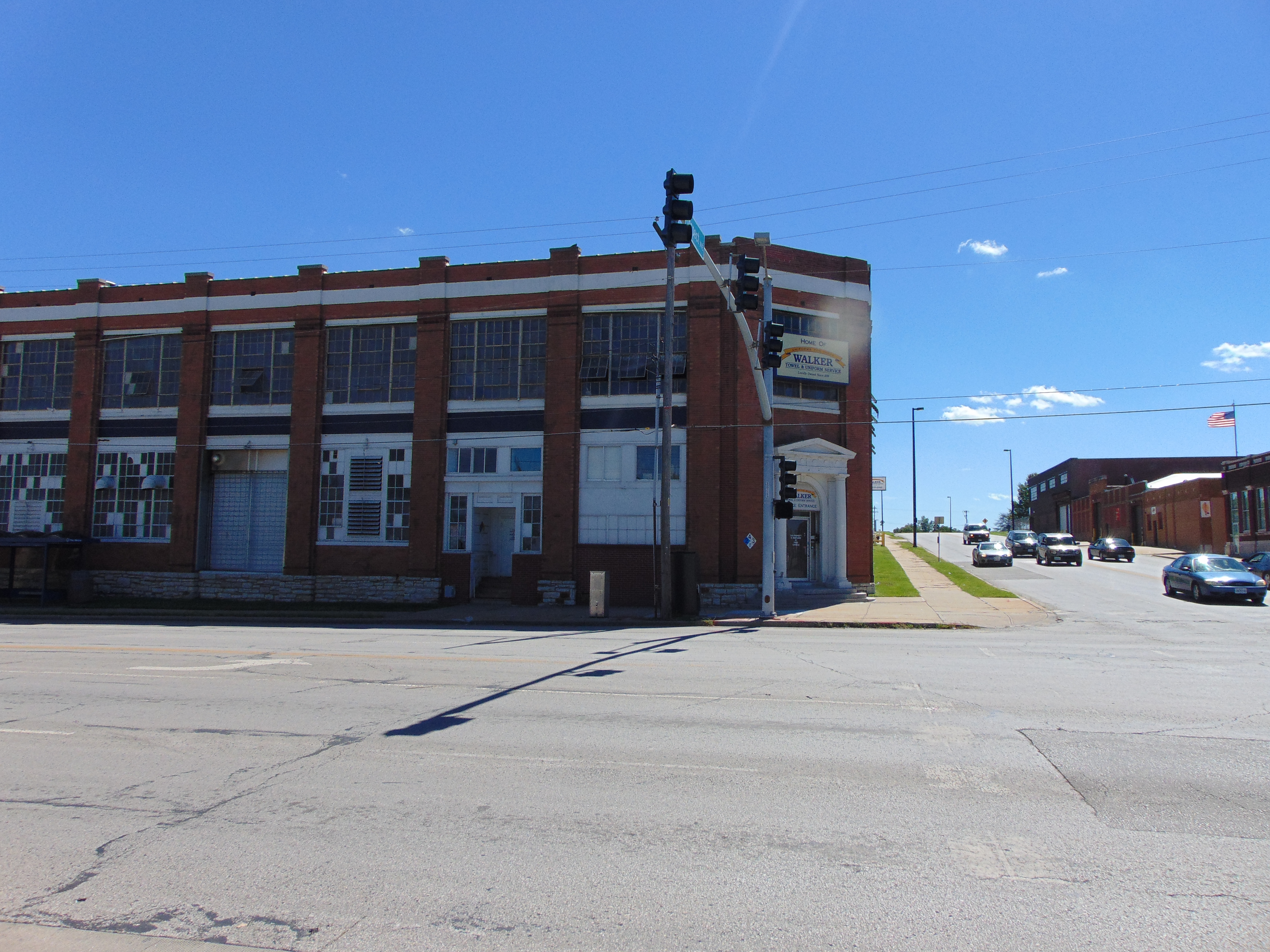
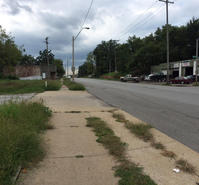
Present Day (2016)
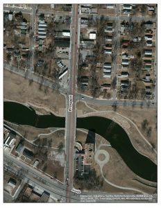
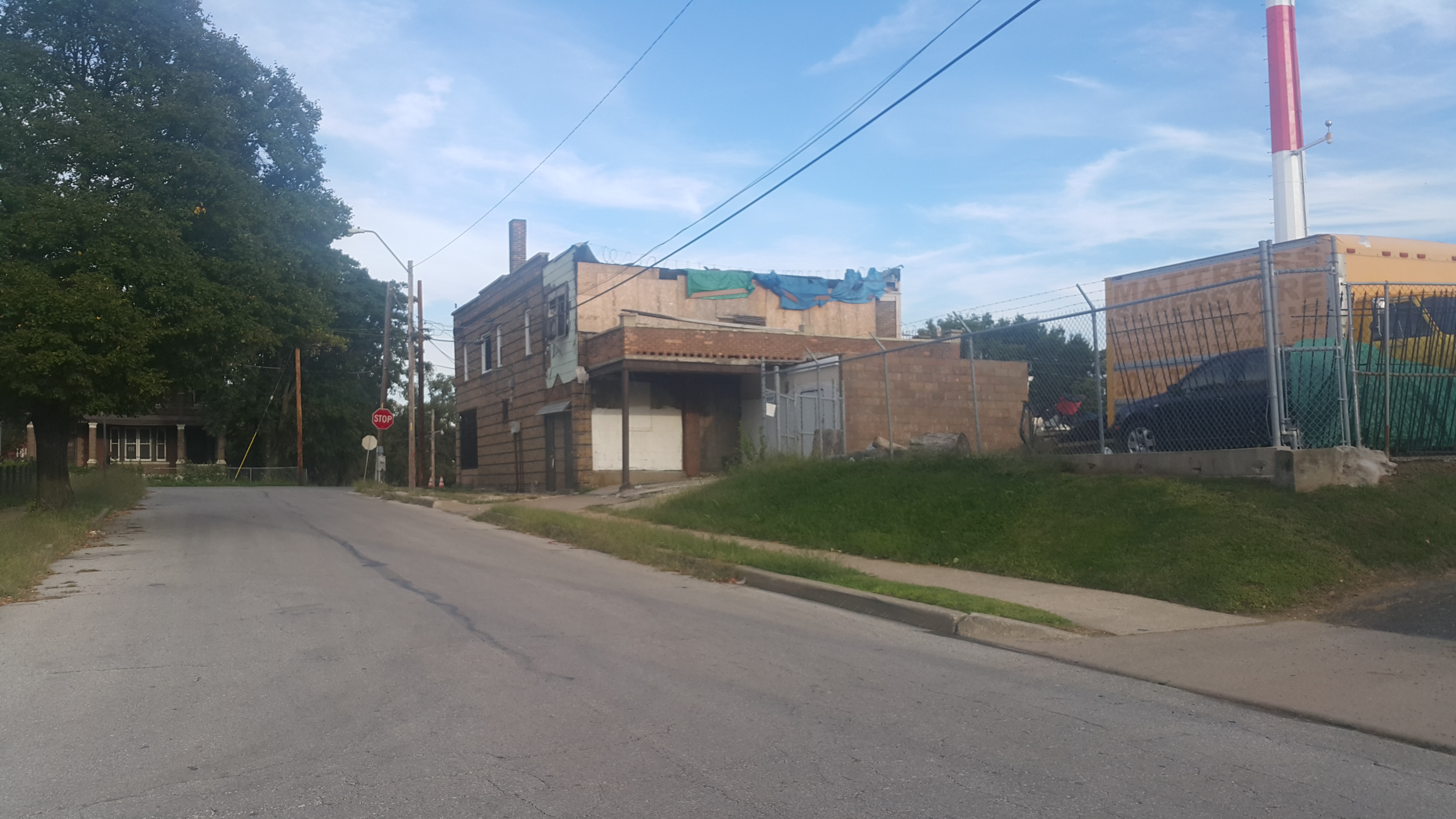
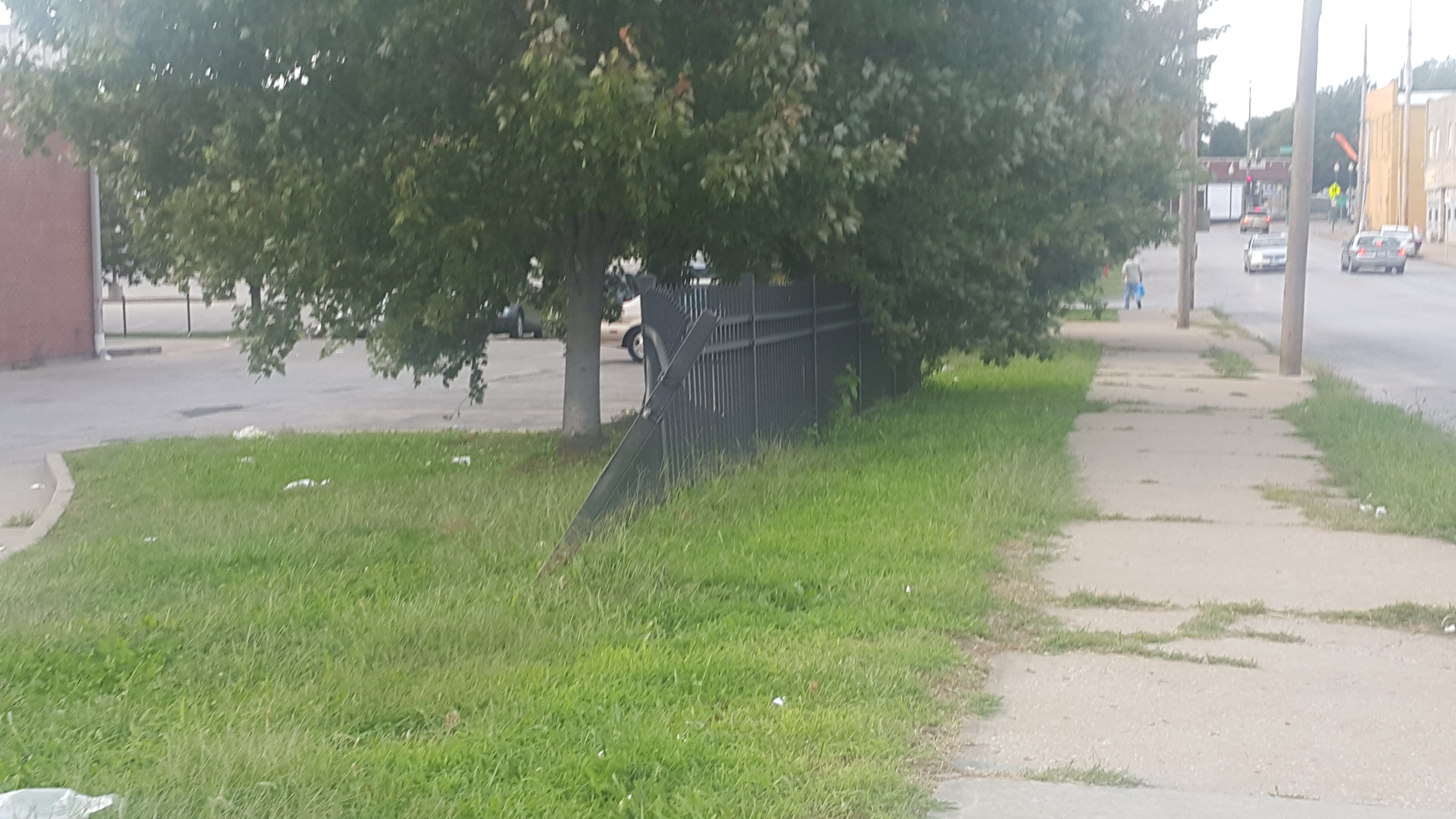
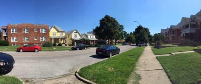
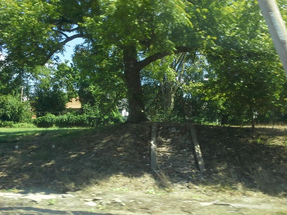
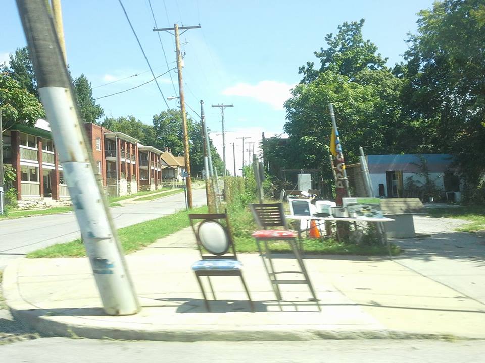
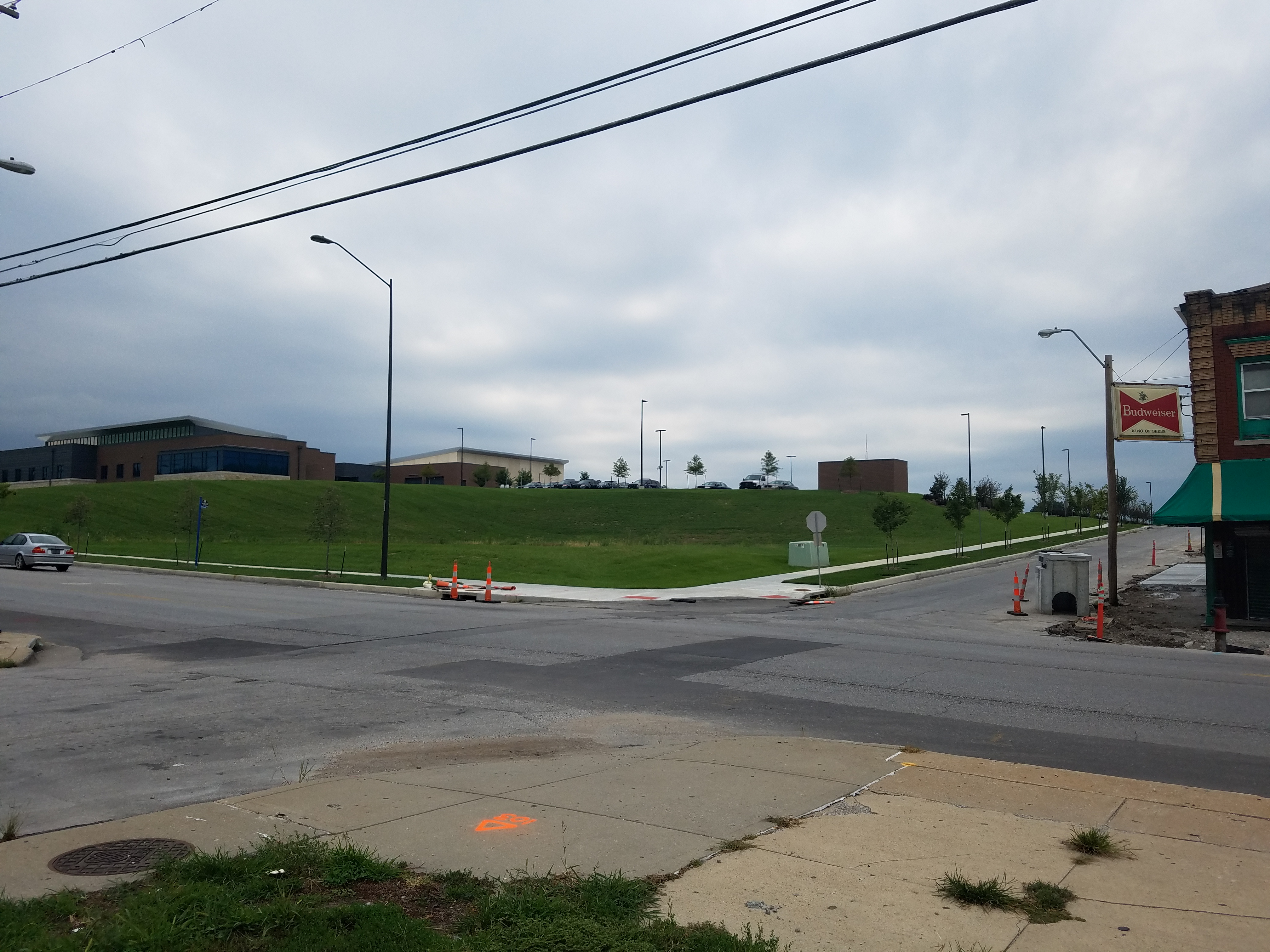
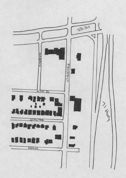
Today, the stretch on Prospect Avenue
between 46th and Swope contains some of the only vibrant green spaces on the corridor. The trails along Brush Creek provides apedestrian connection to the West-side of town, and can be seen as a landmark on the corridor. However, the creek may indicate an edge that partners with 71-Highway individing the corridor. The neighborhoods north of the creek are dense and highly residential on both sides of the corridor. Looking south, 71-Highway abruptly crosses Prospect and runs along it, dividing the neighborhoods.The study area between 46th and Swope is not highly representative of the Prospect corridor. Emanuel Cleaver II Blvd and Swope Parkway are two major arterial roads that act as east-west connectors and run along Brush Creek, a staple of Kansas City. The east-west roads that run along Brush Creek seem to get more attention from the city in an attempt to preserve scenic views.However, many of the lots in this area remain vacant, or not taken care of well. There is also a small commercial strip that containsbuildings whose structural integrity seems to have been neglected.