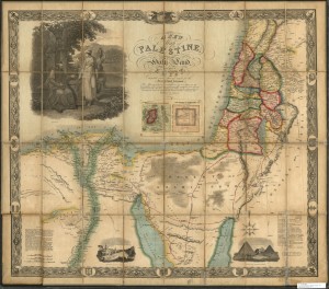
This beautiful map of Palestine and Lower Egypt reflects growing European interest in the region. This map is based on an earlier map meant for Napoleon Bonaparte’s information and used surveys of the region meant for the English Admiralty. This updated map made use of additional surveys of the region, including an American survey. While meant to be an accurate picture of the region it was just as much meant as a map and guide to the places mentioned in the Bible and shows routes taken by the Israelites during their history and well as major biblical landmarks. Also given are details on the size of the Pyramids. Detailed engravings and vignettes make this map as much art as reference and a real jewel in the LaBudde Special Collections.

