Troost Avenue between 40th Street and 43rd Street lay within Census Tracts 65 and 64 (64 changing to tract 169 after 2000) of Jackson County, MO. Between 1950 and 2010, many changes occurred within the area, most prominently seen in the total population, race/ethnic group majorities and vacant housing units. In 1950, both areas housed roughly 4,000 residents per tract. By 2000, the total population in both areas decreased by over 2,000 residents. In 1950, white residents dominated the area, but by 2000, black residents highly concentrated the area, becoming the dominate race in Census Tract 65 by a large sum and equaling the total number of white residents in Census Tract 64. The most imperative change that occurred over the sixty-year time span was the housing units that have become vacant along the Troost Avenue corridor and surrounding area. The number of vacant homes in both tracts increased to over 200 homes between 1950 and 2000. The unkempt, vacant homes can be seen while driving through the area, supporting the statistics provided. With the disinvestment the area has gone through, many buildings are left vacant or knocked down and left as empty lots. As more residents move out of the area, vacating and abandoning their homes, the area becomes less safe as less people are on the streets and the lack of community continues to grow which in turn creates a larger gap between the newly developed investment areas of Kansas City, and the areas built one hundred years ago that lack reinvestment and continue to further decay.
All posts by Madison Gavornik
Analysis of Troost Ave. Between 40th St. and 43rd St.
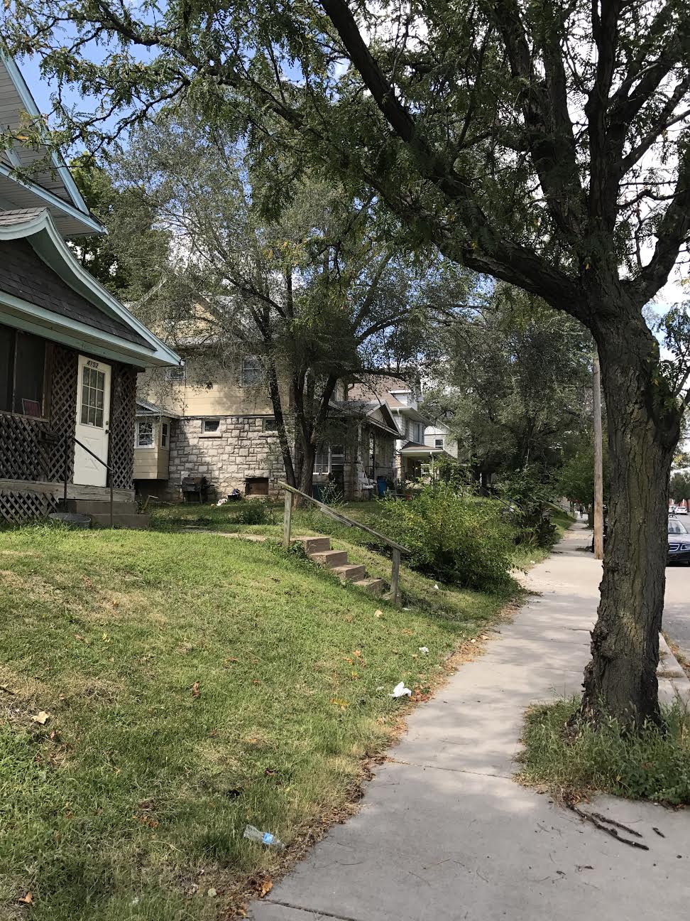
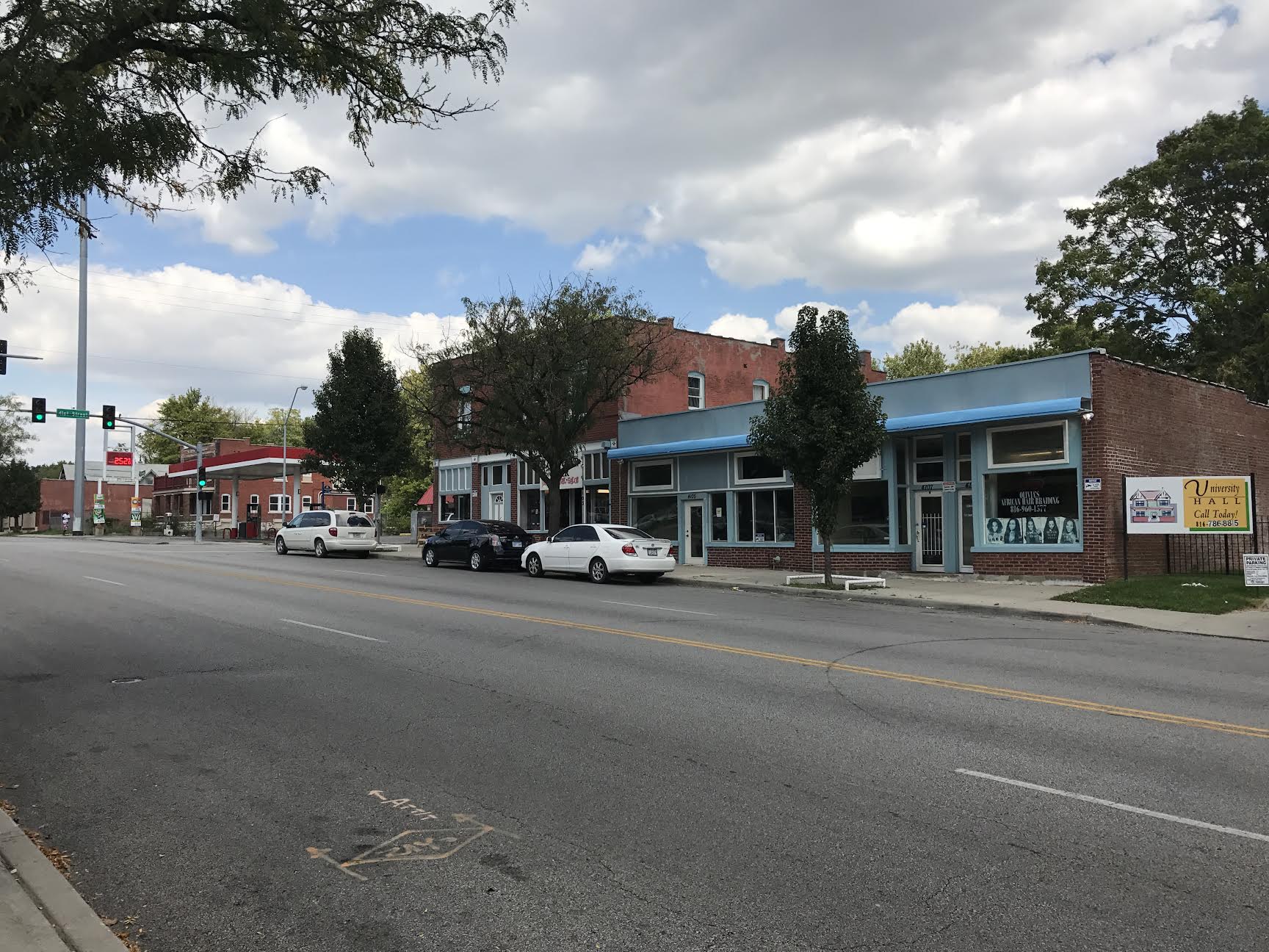
Troost Avenue between 40th Street and 43rd Street is dominated by residential land use with few operating commercial buildings today. Iron bars placed on home windows and doors and high fences surrounding businesses suggest a lack of sense of security within the community. Little human activity occurs on the streets and what does stems from the Ride KC bus stops along the avenue, the only recent reinvestment seen within the three blocks. The earliest maps of the blocks are from 1909 which show few structures and many undeveloped lots. The area has slightly decreased in density from 1951 to 2017. The decrease in density is due to the demolition of many homes. Yet, those houses and apartment complexes still seen today are the original buildings from the early 1900’s. 1951 marked the peak of economic growth within the area with the most stores operating at the time. Since then, due to the disinvestment of the area, 40th Street to 43rd Street has many vacant building spaces that have not had reinvestment put back into them.