I found Social Explorer very interesting in how it compiled data over the years. I was especially interested in how my census tract has changed over the course of 60 years. What used to be a mostly all white middle class suburb of Kansas City, Missouri evolved into a mostly all African American community who are struggling to make it financially. In 1950, most families lived on $3,500 income in this census tract. Most, if not all were white, and had middle income jobs. The rest were the working class, mostly black, and made half as much as the middle income occupants. In 1950, there were 1200 households which were occupied and most of the occupants had owned their homes. We see a dramatic change in the 2000 census. Most of the population in this census tract were African American. Although the population had gradually declined since the 1950’s, African Americans represented over 90% of the population. However, their incomes did no better and most residents were living in poverty. In 1950, a middle income would equate to $35,000 per household in this census tract. In 2000, the average household income in this census tract was only $17,500, half the value 50 years ago. Economically, things did not go better off for the residents living in this census tract. Home ownership fell and residents relied more on renting month per month. In 2010, the population continued to decline and with that more homes were becoming vacant. Occupied housing fell from 1,040 to 849 in a matter of ten years. Home ownership fell as well from 476 homes to 356 in ten years. Overall, housing continued to decline in this census tract as more residents continued to move out in this area. It seems that it is a continuing trend not only in this census tract but also in the surrounding city.
All posts by Ilya Stefanidis
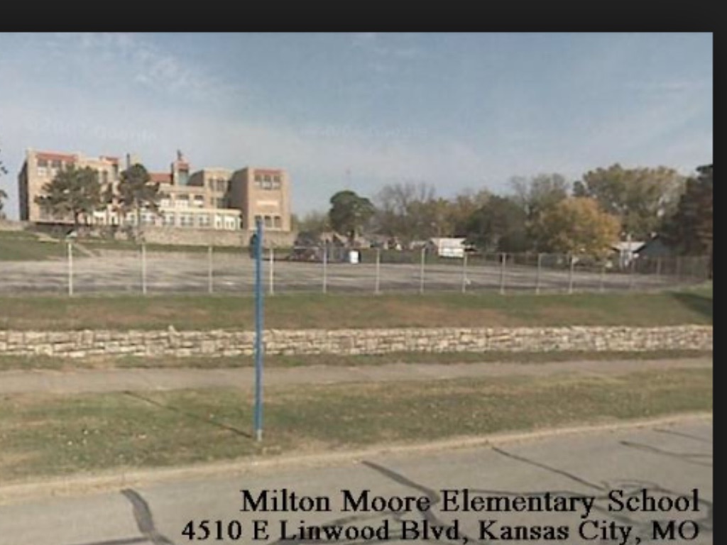
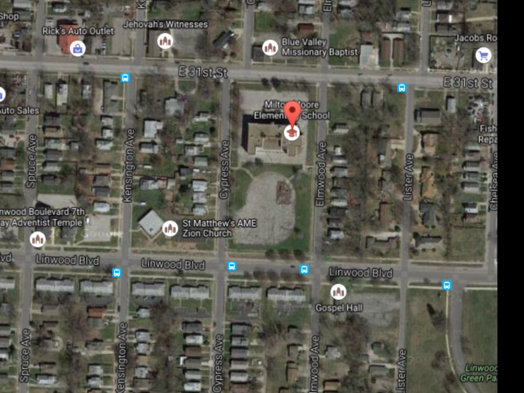
Linwood: Kensington Ave to Elmwood Ave
The area that I was assigned to was a little old neighborhood called Knoches Park. It was located east of The Paseo and the way I got there was by using The Metro. Getting there was a bit of a challenge because I was unfamiliar with the area. My assigned block looked like any suburban block around the Kansas City Metropolitan Area. However, when I was doing some research I found out that it looked a lot more different than it is now. The area was pretty much no man’s land prior to the 1890’s. It wasn’t around 1895 that the city limits started to expand and make it’s way past Paseo Drive. Although some housing was incorporated into the area most of the roads were unpaved and the main mode of transportation was by foot. It wasn’t until the 1920’s that paved roads started to accommodate pedestrians, horse and trollies, and a few automobiles. The area was beginning to expand with housing as the population grew around the city limits. By the 1950’s, Kansas City was beginning to sprawl outward with more roads and houses to accommodate the growing population. The automobile began to shape the suburbs and that allowed for more business districts to come into the suburbs. The area between Kensington Ave and Elmwood Ave saw mostly changes in residential development. SInce 1925, it has expanded in mostly housing. New additions since 1950 include newer homes on the south side on Linwood Blvd, a new church on the corner of Kensington Ave, and metro bus lines that run on Linwood Ave. Milton Moore highschool was built around the 1900’s right on the corner of Linwood Blvd and Elmwood Ave. It has stood there over the years with a few minor additions. The building never expanded and was eventually turned into an elementary school. It still surprises me how a small highschool at the turn of a centrury still stands today to serve elementary students in that area.