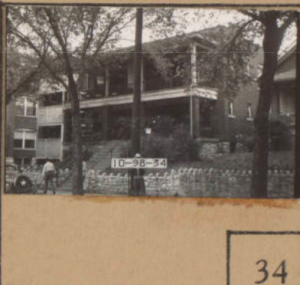
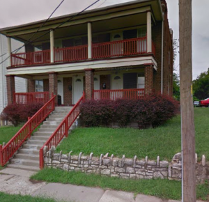
My assigned area was mostly residential. When putting together the according tracts, I noticed an extreme amount of development between the year 1895 and 1909. Between the year of 1950 to 2018, my area as a whole went through a destruction of many of its homes. This is something that was really interesting to me because when you compare these two Sanborn maps you can see how they appear very similar in terms of the amount of developed land and the amount of vacant land. Besides the residential homes, there was also a few apartment buildings. The architectural style of these buildings was that of a colonnade style. This is shown in the pictures below. The photo from the left was from the Kansas City 1940 Tax Assessment Photographs. The photo on the right was from google maps. We are able to see how the home that was located on the right of the apartment building from 1940 was destroyed since it is now present in the 2018 image.

