My Troost
Chainy J. Folsom
For my post I selected several geographic images of the 77th and Troost area.
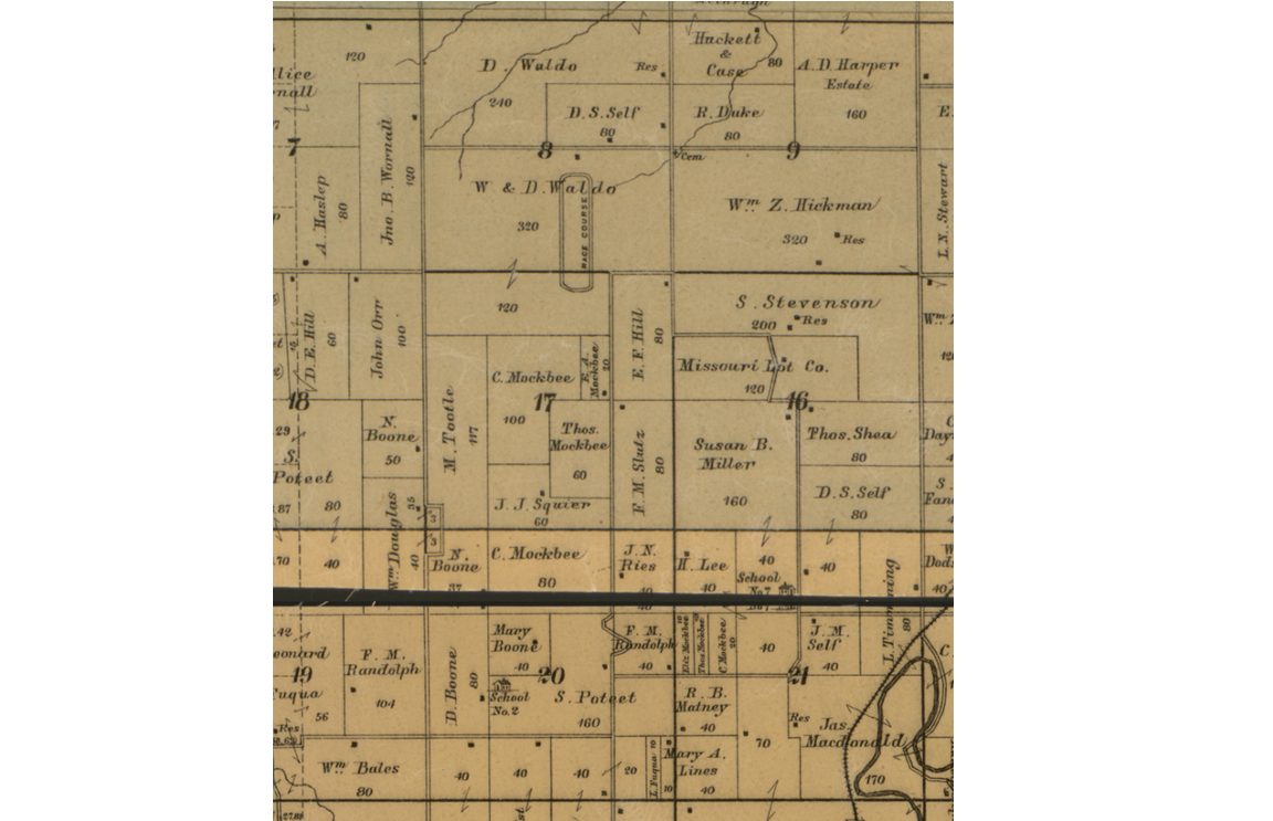
Edward’s Map for Jackson County Missouri, 1887.
It is possible to make out the owners’ names within the lots. Note several names prominent in the Kansas City development history; Waldo, Wornall, Boone, and Hickman. Find the Thos. Mockbee 60 acre lot at the lower center.
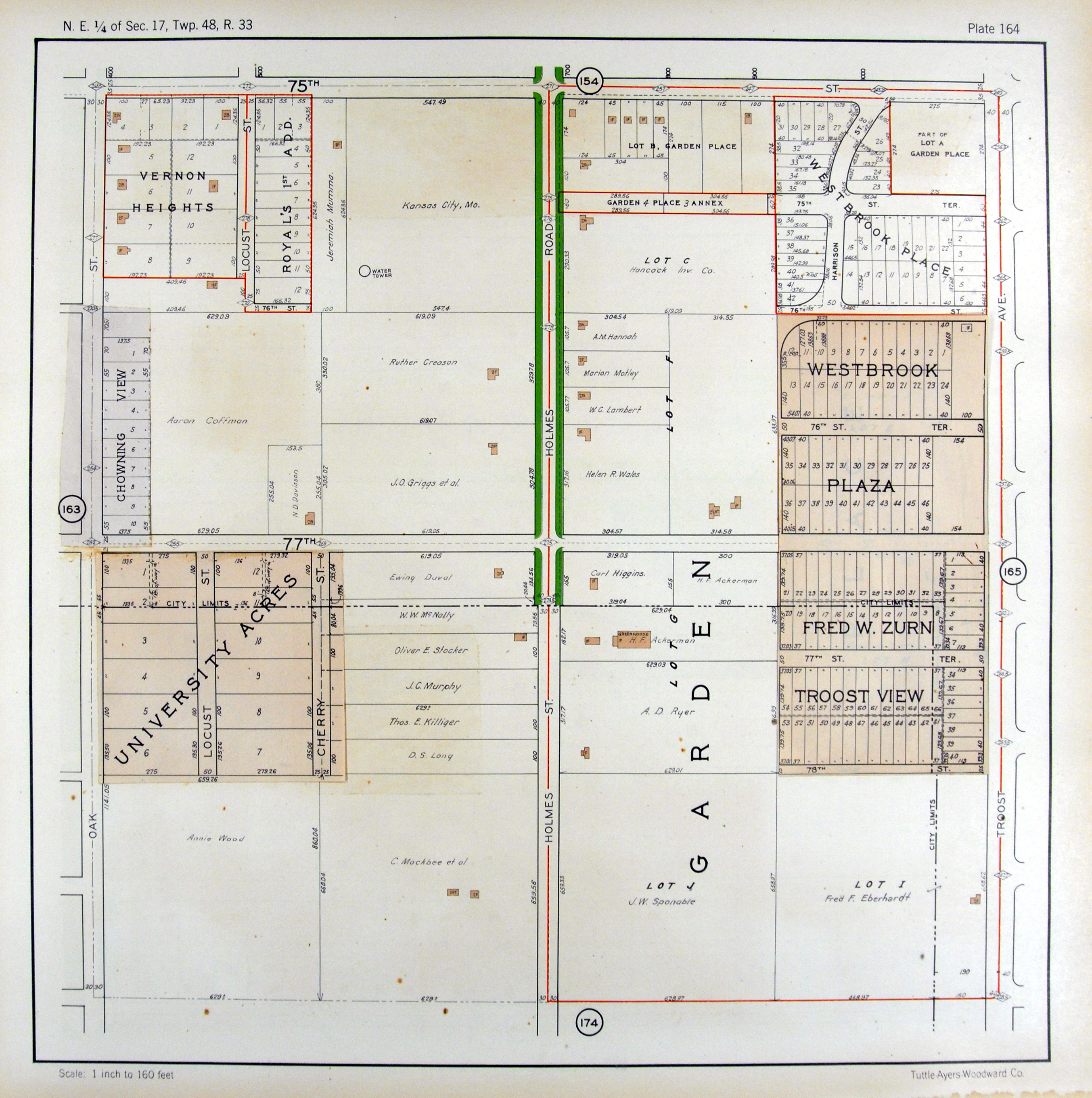
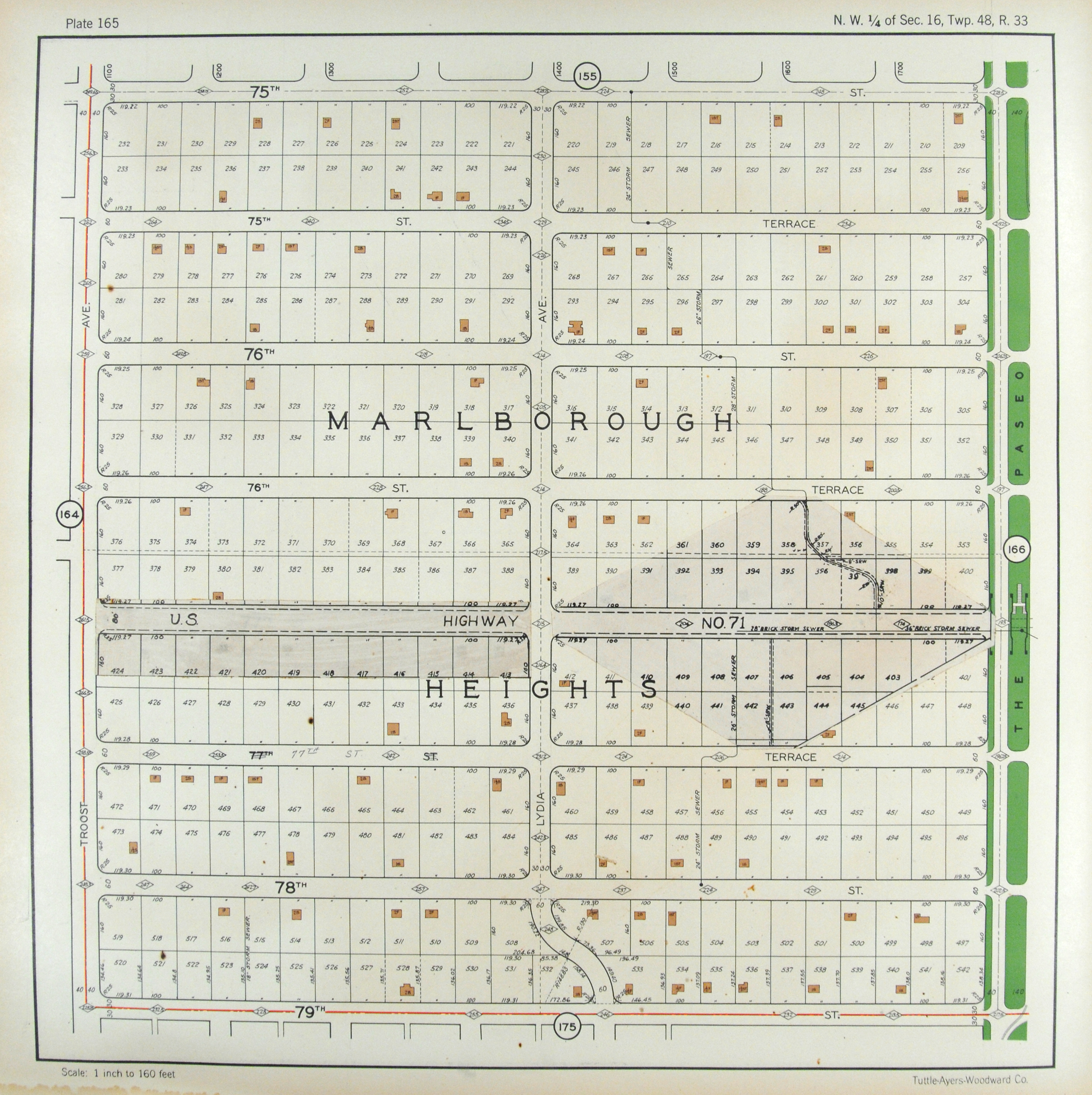

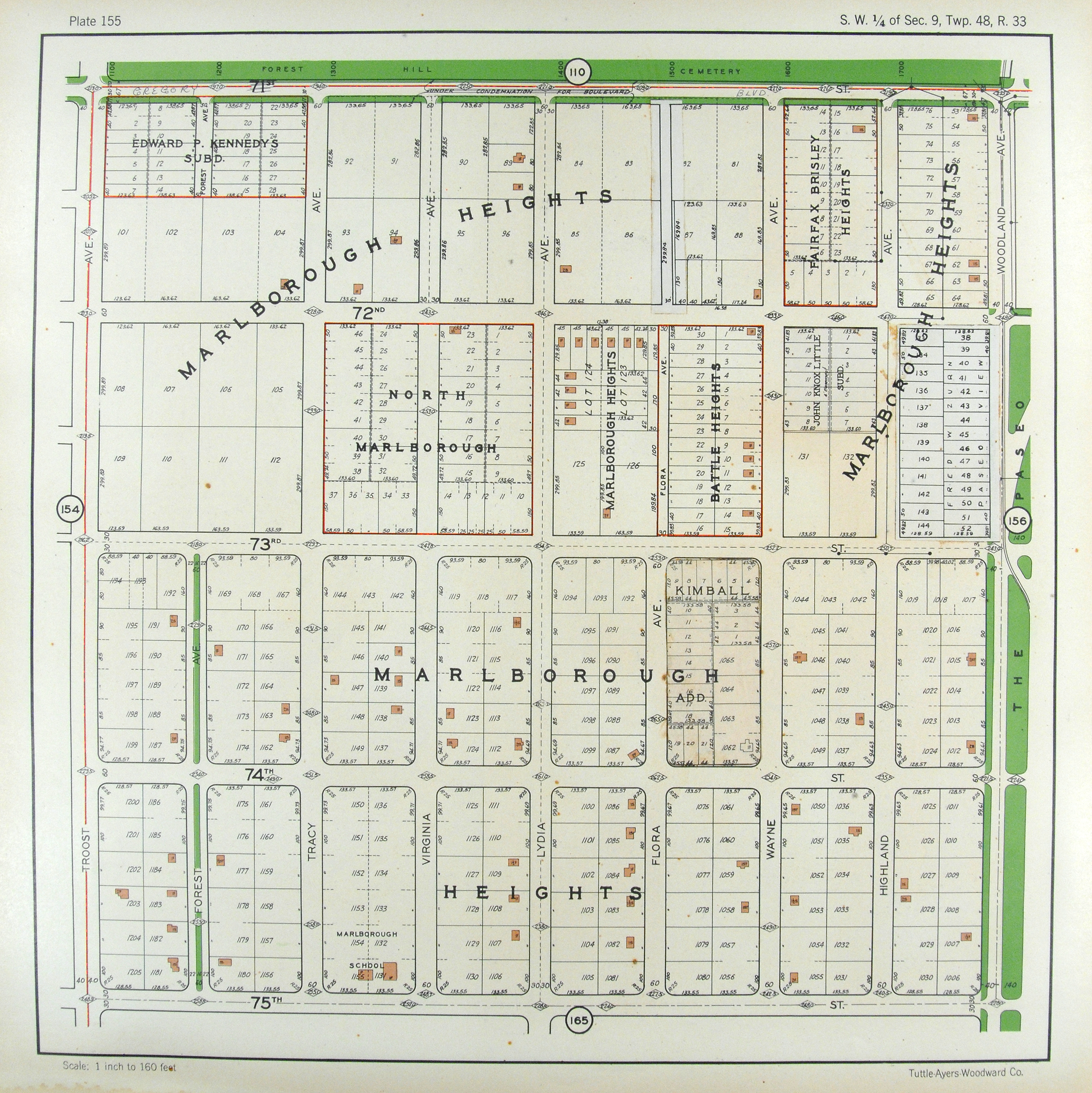
The area as represented in the 1925 Atlas of Kansas City. Thos. Mockbee’s lot is in the lower left map. The lot has been subdivided into 40 acre and 20 acre lots.
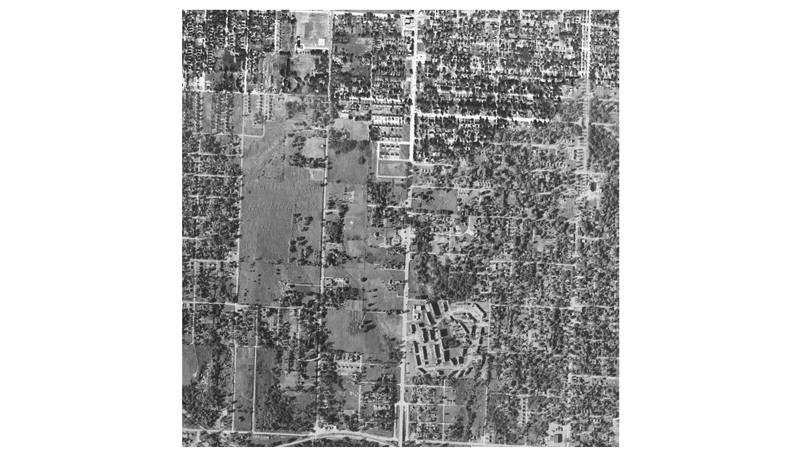
1948 USGS (1948-08-24 – 1948-10-19)
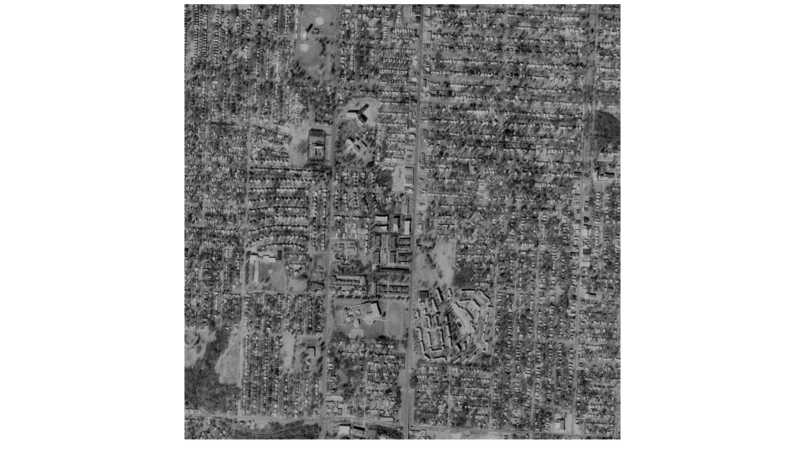
1996 USGS DOQQ (1996-02-10 – 1996-07-18)
 2012 USDA (2012-06-05 – 2012-06-29)
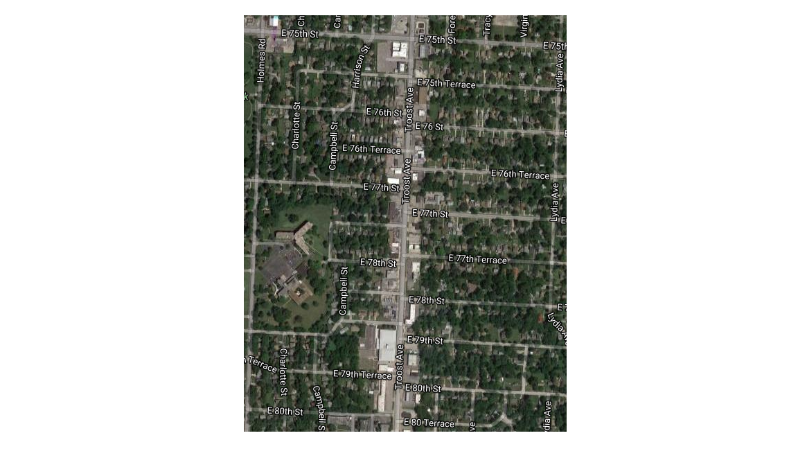
Close up from the 2012 aerial photo. 75th and Troost is at the center top.
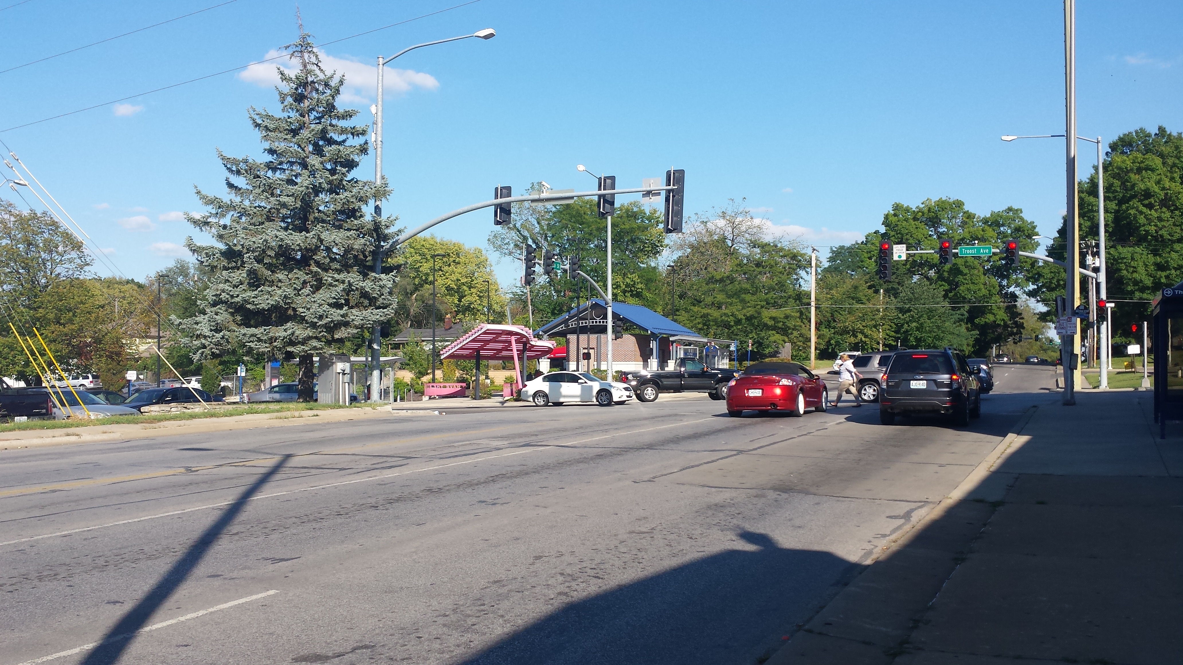 Looking east at 75th and Troost Intersection today
 Looking north at 75th and Troost intersection.
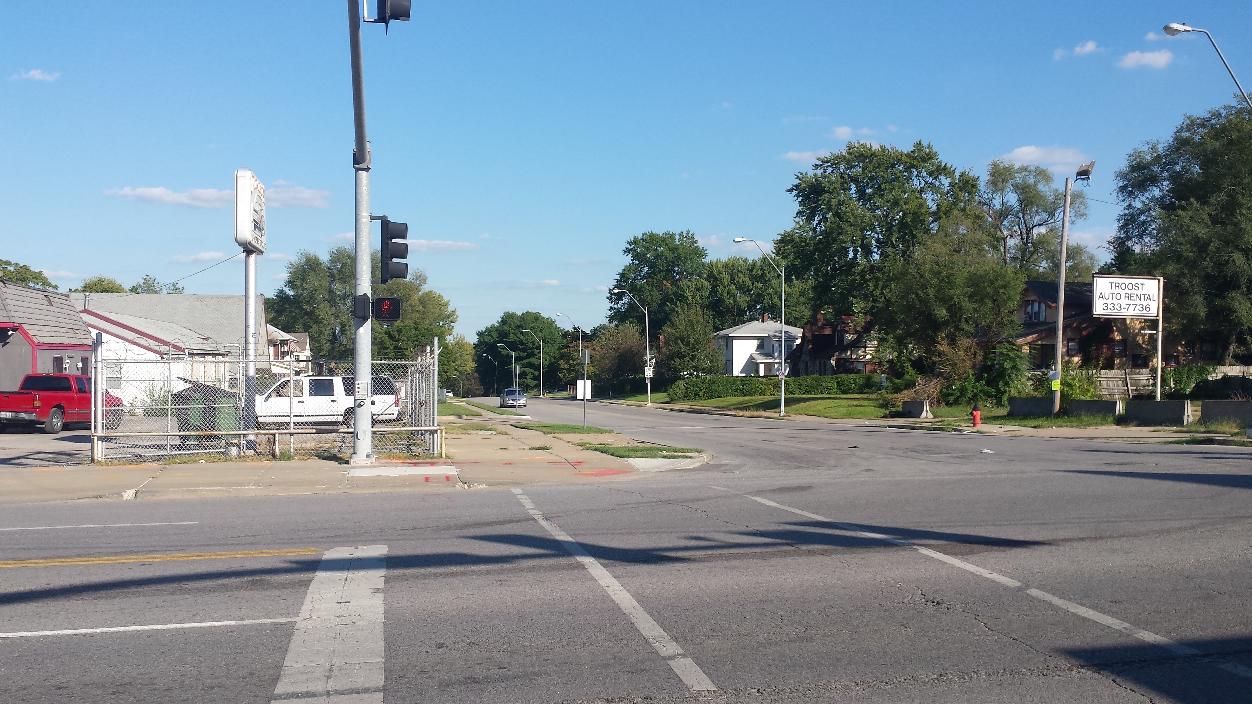
77th and Troost intersection, old Highway 71